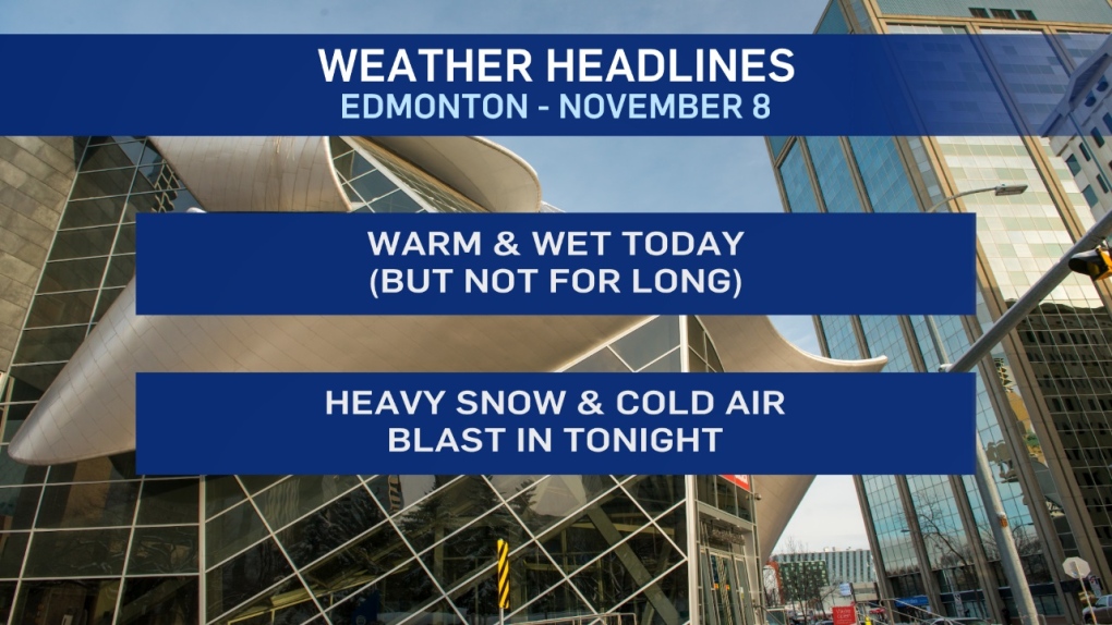
A warm & showery day in Edmonton will turn WINTRY in a real hurry tonight.
Temperatures will climb above 5 degrees early this afternoon with showers in the area (especially early in the day).
THEN...as colder air begins to drop in...temperatures start falling this afternoon.
A few showers return to the area and quickly turn to wet snow by early evening.
Overnight - several centimetres of snow falls on the Edmonton region and we wake up under a blanket of 5-8 cm of fresh snow Saturday.
Snow continues (although, it should be lighter) through the day Saturday before ending Saturday night.
Another 2-4 cm of likely through the day Saturday.
So...we'll end up with about 10 cm of snow IN most of the city.
Areas further east could see lesser amounts.
Areas to the west get MORE.
Stony Plain/Evansburg will likely get closer to 20 cm and 20-40 cm is possible in parts of the Peace Country and the Hinton/Edson/Jasper/Rocky Mountain House regions.
(That's welcome news for skiers as Marmot Basin opens TODAY)
Temperatures slip to the -10 range for Saturday afternoon and Sunday afternoon.
BUT...it looks like we'll warm up again early next week.
Here's the forecast for Edmonton:
- Today – Cloudy with occasional showers this morning, tapering off midday.
- Showers turning to wet flurries in the early evening.
- 2pm: 6
- 5pm: 1
- Tonight - Snow beginning in the evening. 5-8 cm likely by Saturday morning.
- 9pm: -2
- Saturday - Cloudy with snow tapering off later in the day. 2-4 cm likely.
- Temperature falling through the day.
- Morning: -7
- Afternoon: -11
- Sunday - Cloudy in the morning. Clearing in the afternoon.
- Morning Low: -17
- Afternoon High: -11
- Monday - Partly cloudy.
- Morning Low: -15
- Afternoon High: -7
- Tuesday - Mix of sun & cloud.
- Morning Low: -11
- Afternoon High: -2
- Wednesday - Mix of sun & cloud.
- Morning Low: -8
- Afternoon High: -4
