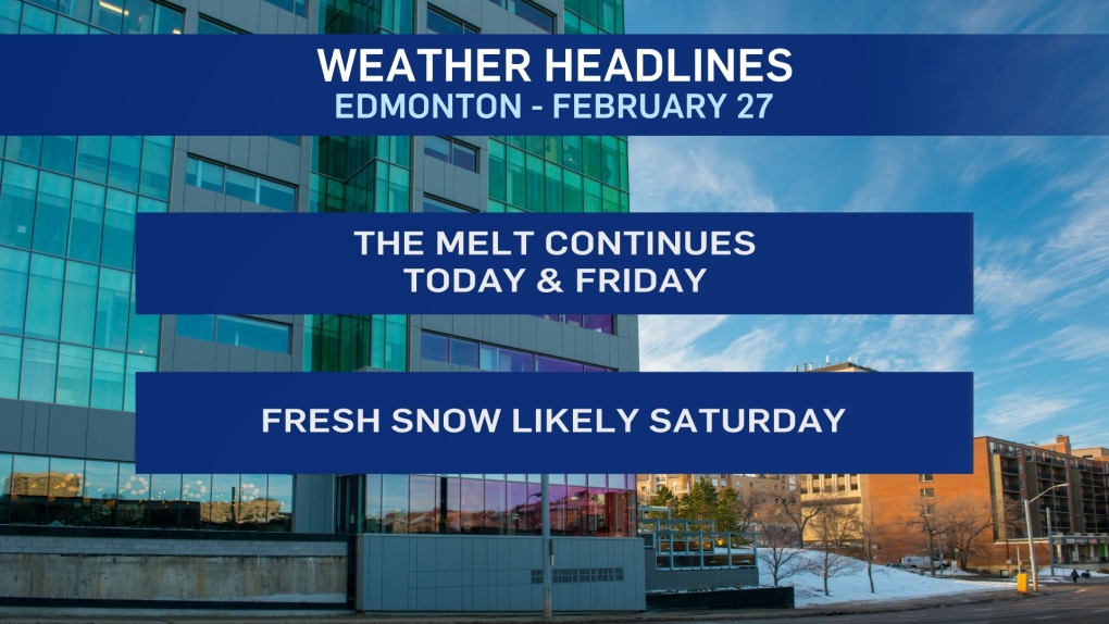
EDMONTON -- Another warm and melty day in the Edmonton region today.
But, things could get a bit more interesting across northern Alberta.
Wet snow, rain (and maybe even some areas of freezing rain) will develop in the Peace Country this afternoon.
That precipitation will push east across northen Alberta tonight with areas near the NWT border possibly seeing 5-10 cm of snow.
Areas further south (Slave Lake, Fort McMurray etc) may get some precip. But, probably not the heavier snow.
Edmonton's next chance for snow comes Saturday and it's still likely that this will be "shovelable" amounts.
Tuesday of next week also has the potential to be a snow day in Edmonton and area.
We'll also get a bit of a cool-down this weekend and next week.
Not cold...but cooler.
Temperatures climb to the 5 to 10 degree range in the city this afternoon.
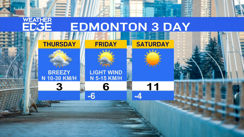
Tomorrow should have a high in the 5 to 7 degree range.
THEN... near zero for highs this weekend.
Next week - highs in the +3 to +3 range.
HERE'S THE FORECAST FOR EDMONTON:
- Today – Mix of sun & cloud.
- High: 8
- Tonight - Partly cloudy.
- 9pm: 0
- Friday - Partly cloudy.
- Morning Low: -2
- Afternoon High: 6
- Saturday - Mostly cloudy. 60% chance of snow.
- Risk of heavy snow.
- Morning Low: -5
- Afternoon High: 1
- Sunday - Mostly cloudy.
- Morning Low: -7
- Afternoon High: -2
- Monday - Mix of sun & cloud.
- Morning Low: -8
- Afternoon High: 3
- Tuesday - Mostly cloudy. 40% chance of snow.
- Morning Low: -7
- Afternoon High: 1
