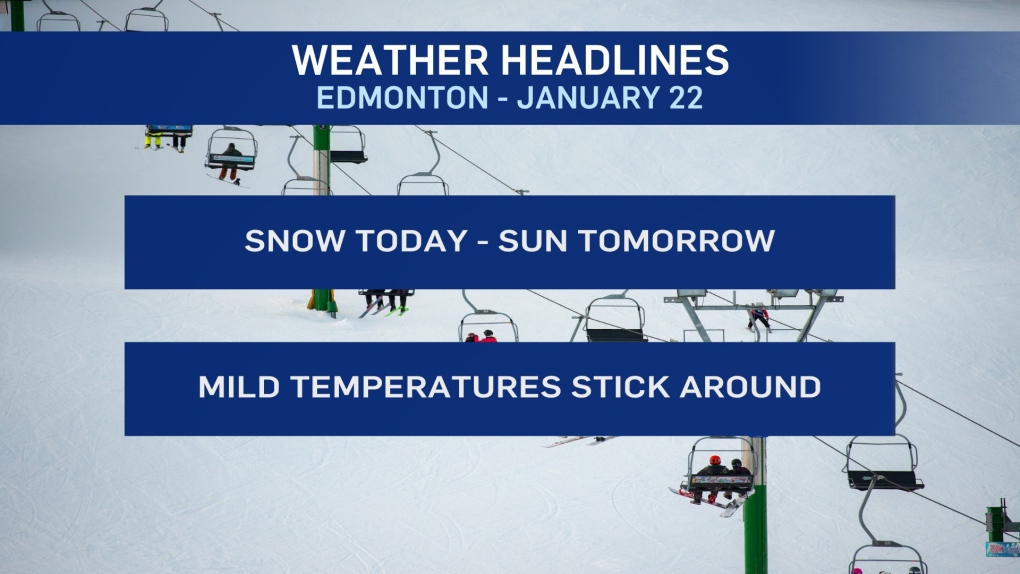
EDMONTON -- Snow rolled into the Edmonton region overnight and it'll stick around through this morning before tapering off this afternoon.
By then, it looks like most of the city will have 3-6 cm of snow.
Parts of the region could get closer to 10 cm.
Most of that snow should be on the ground by midday as the main snow area will move east and start to fizzle out.
Temperatures jumped above zero Tuesday and although we'll end up with a high below zero today, positive temperatures will return Thursday.
Daytime highs should be 1 to 3 degrees above freezing on Thu/Fri/Sat.
More sun than cloud for the next few days as well (after today).
HERE'S THE FORECAST FOR EDMONTON:
- Today – Periods of snow this morning. Total snowfall amounts near 5 cm.
- Cloudy with snow tapering off this afternoon.
- High: -2
- Tonight - Clearing overnight.
- 9pm: -5
- Thursday - Sunny with a few clouds.
- Morning Low: -10
- Afternoon High: 2
- Friday - Mix of sun & cloud.
- Morning Low: -6
- Afternoon High: 3
- Saturday - Mainly sunny.
- Morning Low: -5
- Afternoon High: 3
- Sunday - Mix of sun & cloud.
- Morning Low: -6
- Afternoon High: 0
- Monday - Mostly cloudy.
- Morning Low: -7
- Afternoon High: -2
