EDMONTON -- The colder, snowier weather over the weekend was just a preview of what's to come this week.
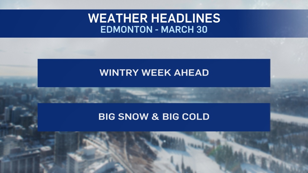
Get set for a BIG dump of snow over the next 24 hours and then a BIG drop in temperature.
Snowfall WARNINGs have been issued for areas east of Edmonton. 10-20 cm is likely in areas from Smoky Lake south to Camrose.
That warning zone may be extended later today. As of early this morning, it's a "special weather statement" that's in effect for the City of Edmonton.
At this point, 10-15 cm looks likely for most of the city.
That special weather statement and the potential for heavy snow is also in place for areas from Red Deer to Athabasca and Drayton Valley to Lloydminster.
Most of the snow in Edmonton will fall this evening and overnight. The snow will taper off Tuesday.
AND THAT is when the temperature drop kicks in.
Edmonton should be near -5 this afternoon. But, we'll have highs in the -5 to -10 range Tue/Wed/Thu.
Mornings will likely be in the -20 range Wed/Thu/Fri.
Milder air will likely return by the weekend with highs closer to zero.
HERE'S THE FORECAST FOR EDMONTON:
- Today – Cloudy with periods of snow.
- High: -4
- Tonight - Periods of snow. 10-15 cm possible.
- 9pm: -8
- Tuesday - Cloudy. 70% chance of light snow.
- Morning Low: -11
- Afternoon High: -7
- Wednesday - Mix of sun & cloud.
- Morning Low: -20
- Afternoon High: -7
- Thursday - Partly cloudy.
- Morning Low: -18
- Afternoon High: -8
- Friday - Partly cloudy.
- Morning Low: -18
- Afternoon High: -5
- Saturday - Partly cloudy.
- Morning Low: -15
- Afternoon High: -2
