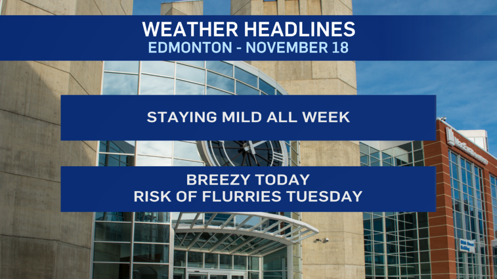
It won't be as warm as Sunday. BUT, temperatures should be well above zero again this afternoon.
Edmonton hit highs of 6 and 12 this past weekend. We'll be in the 6 degree range again today in the city.
The downside will be the wind as it gusts to around 30 km/h, especially early in the day.
We have snow & gusty wind along a cold front stretching from High Prairie to Athabasca early this morning.
Those conditions will move east through the morning and should stay well north of the Edmonton region.
There IS a slight risk of some flurries overnight or early Tuesday.
But, the best chance for precipitation comes Tuesday night. No heavy snow expected though. Just flurries.
Temperatures "slip" to average (highs near +1) Tue/Wed before returning to the 5 degree range for Thu/Fri/Sat.
Here's the forecast for Edmonton:
- Today – Sunny with some afternoon clouds. Breezy.
- Wind WNW 15 to 30 km/h.
- High: 6
- Tonight - Mostly cloudy. Light wind. Slight risk of flurries overnight.
- 9pm: -2
- Tuesday - Mostly cloudy. Slight risk of flurries in the morning.
- Morning Low: -4
- Afternoon High: 2
- 30% chance of flurries in the evening/overnight.
- Wednesday - Cloudy in the morning. Clearing in the afternoon.
- Morning Low: -4
- Afternoon High: 1
- Thursday - Mainly sunny.
- Morning Low: -6
- Afternoon High: 5
- Friday - Mainly sunny.
- Morning Low: -2
- Afternoon High: 6
- Saturday - Mix of sun & cloud.
- Morning Low: 1
- Afternoon High: 7
