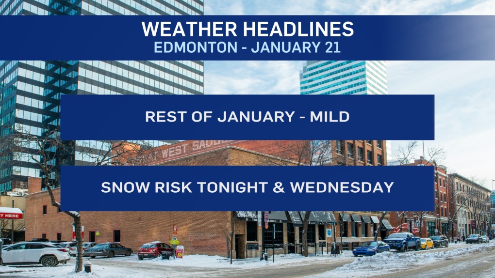
EDMONTON -- January 2020 will end much like it started - mild.
The first week of the month had an average high of zero degrees.
Week two had an average high of -21 !
Week three ends today and will have an average high of -17.
BUT...the forecast for the last 10 days of the month has an average high of -1.
So, after a lengthy deep freeze, we're back to above-average temperatures for the next week and a half.
PRECIP Outlook:
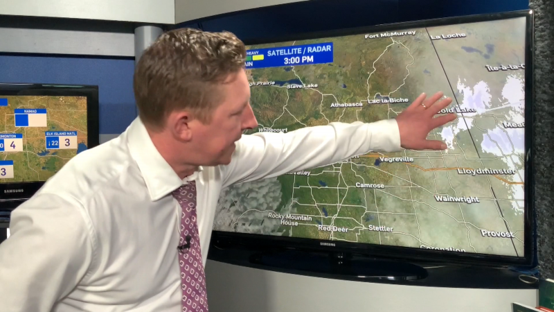
An area of low pressure will work in from the SW tonight.
The Edmonton region is expecting 2-5 cm of snow overnight and Wednesday morning with the precipitation tapering off Wednesday afternoon.
HOWEVER, there will be some pockets of heavier snow and there IS the potential one of those could set up over or near the city.
More on that later today.
In general, regions from Grande Prairie SE towards Coronation can expect 1-5 cm with a few spots getting 5-10 cm.
Red Deer/RMH and Lloydminster/Vermilion are on the edges of that snow zone.
HERE'S THE FORECAST FOR EDMONTON:
- Today – Partly cloudy this morning. Mostly cloudy this afternoon.
- High: -3
- Tonight - Mostly cloudy. 60% chance of snow starting overnight.
- 9pm: -5
- Wednesday - Cloudy with snow in the morning. 2-5 cm possible.
- Mostly cloudy with a 30% chance of flurries in the afternoon.
- Morning Low: -8
- Afternoon High: -3
- Thursday - Partly cloudy.
- Morning Low: -11
- Afternoon High: 0
- Friday - Partly cloudy.
- Morning Low: -6
- Afternoon High: 1
- Saturday - Partly cloudy.
- Morning Low: -4
- Afternoon High: 1
- Sunday - Mix of sun & cloud.
- Morning Low: -6
- Afternoon High: -1
