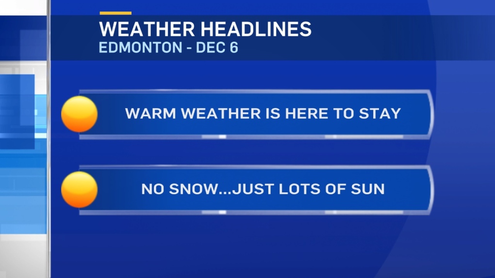
A persistent Upper Ridge looks like it'll keep most of Alberta locked into above average temperatures for the next 5-7 days (perhaps longer).
Eastern and NE Alberta might get a few ripples of colder air over the next week.
But, most of the province stays warm.
In the Edmonton area, we'll get into the 0 to 5 degree range fora high this afternoon.
After today, highs will be in the 5 to 10 degree range for Thu/Fri and the weekend.
We're probably in that 5-10 range Mon/Tue as well.
Mainly sunny skies will dominate the forecast for the next 2 days.
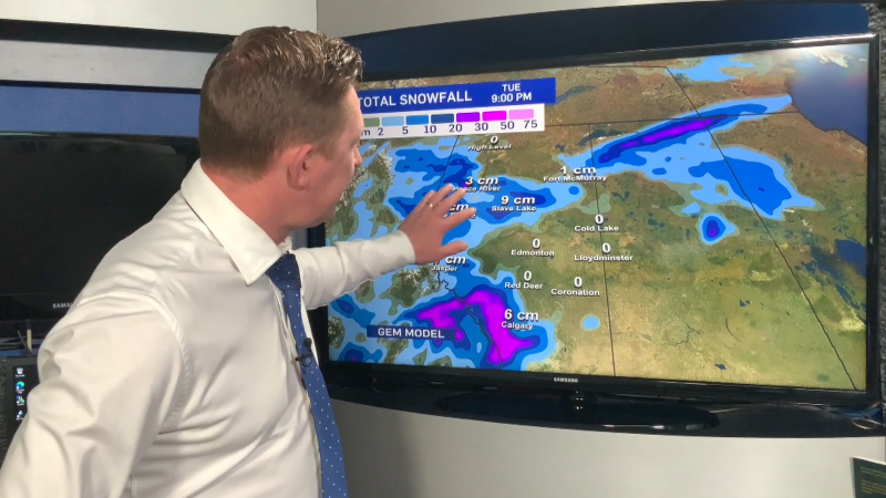
The GFS model has a slight risk of some precipitation on Sunday.
The GEM doesn't have any precip for Edmonton between now and Dec 14.
I'll add in a SLIGHT risk of a rain/snow mix for Sunday and watch to see how that pattern develops.
Here's the Edmonton forecast:
Today - Mix of sun & cloud this morning Sunny this afternoon.
High: 2
Evening - Mainly clear.
9pm: -1
Thursday - Mainly sunny.
Morning Low: -4
Afternoon High: 6
Friday - Mainly sunny.
Morning Low: -3
Afternoon High: 7
Saturday - Partly cloudy.
Morning Low: -2
Afternoon High: 7
Sunday - Mix of sun & cloud. Slight risk of a rain/snow mix.
Morning Low: -2
Afternoon High: 6
Monday - Partly cloudy.
Morning Low: -3
Afternoon High: 7
