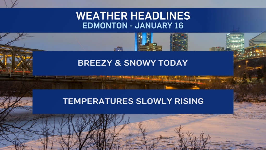
EDMONTON -- Temperatures are about 10 degrees warmer than Wednesday morning across the Edmonton region.
BUT the wind is a lot stronger and that means the wind chill is bigger issue than yesterday.
Wind will continue to be 10-15 km/h through the day giving wind chills of -35 to -40.
AND, we'll have snow and blowing snow through at least the first half of the day (possibly carrying into this afternoon).
1-4 cm of accumulation is expected.
Add the lack of sun to the wind and today may have a warmer thermometer reading, but probably won't FEEL better than yesterday.
Temperatures ARE slowly creeping up though.
We'll be in the -25 range today and Friday.
Sunday looks like our first day above -20.
Monday should have temperatures back in single digits and we'll be near average all next week.
HERE'S THE FORECAST FOR EDMONTON:
- Today – 1-4 cm snow this morning. Cloudy with a 40% chance of flurries this afternoon.
- Wind: 10-15 km/h giving wind chills in the -35 to -40 range.
- High: -26
- Tonight - Mostly cloudy.
- 9pm: -27
- Friday - Cloudy morning. Clearing in afternoon.
- Morning Low: -29
- Afternoon High: -24
- Saturday - Mix of sun & cloud.
- Morning Low: -31
- Afternoon High: -23
- Sunday - Partly cloudy.
- Morning Low: -27
- Afternoon High: -16
- Monday - Partly cloudy.
- Morning Low: -22
- Afternoon High: -8
- Tuesday - Partly cloudy.
- Morning Low: -13
- Afternoon High: -4
