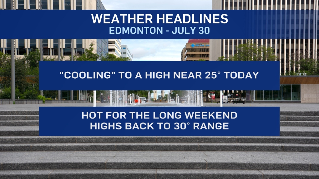
EDMONTON -- Today should be the "coolest" day this week with Edmonton "only" getting to a high of 25 or 26.
Most of the showers and thunderstorms late Wednesday night avoided the region.
But we've had a few showers push through the metro region this morning.
Skies will start clearing late this morning and we'll be sunny through the afternoon hours.
Most of the province will get a slightly cooler day before the upper ridge builds back in and the heat returns to most areas through the weekend.
Daytime highs climb highs around 30 in much of central Alberta.
Even hotter temperatures (low to mid 30s) are expected in parts of southern AB and possibly in the far north as well.
The storm risk for this afternoon/evening will mainly be through the foothills and then across southern Alberta today.
That's not to say there's ZERO risk of an evening/overnight storm near Edmonton. But, the risk looks pretty low for the next few days.
Next best chance (after this morning) for some precipitation will be Monday evening or Tuesday.
HERE'S THE FORECAST FOR EDMONTON:
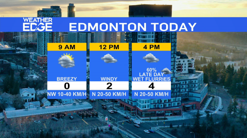
- Today - Clouds and a few scattered showers early this morning.
- Clearing to Mainly Sunny for this afternoon.
- High: 25
- Tonight - Cloudy periods overnight.
- 9pm: 2
- Friday - Partly cloudy in the morning. Mainly sunny in the afternoon.
- Morning Low: 15
- Afternoon High: 27
- Saturday - Partly cloudy.
- Morning Low: 17
- Afternoon High: 28
- Sunday - Mainly sunny.
- Morning Low: 18
- Afternoon High: 29
- Monday - Partly cloudy. 30% chance of a late-day shower or thunderstorm.
- Morning Low: 18
- Afternoon High: 29
- Tuesday - Mostly cloudy. 40% chance of showers/thunderstorms.
- Morning Low: 16
- Afternoon High: 23
