EDMONTON -- A dusting of snow is on the ground in the Edmonton area this morning.
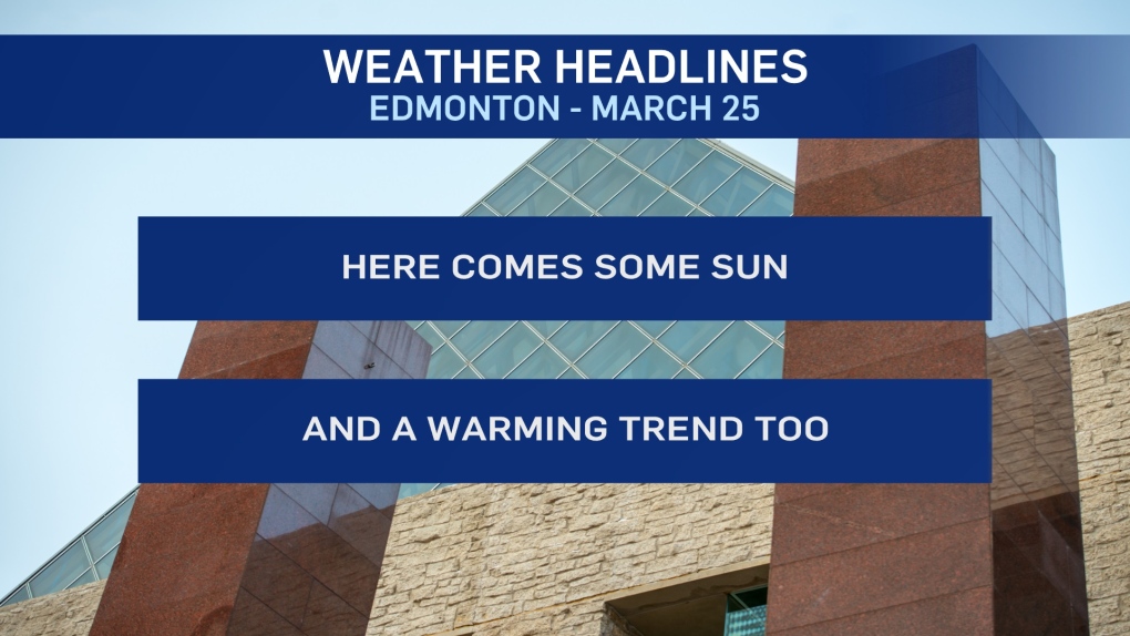
That should melt quickly as skies clear this morning and we get a good amount of sun this afternoon.
Temperatures stayed below zero Tuesday. But, we'll be back to (maybe even a degree above) zero today.
Warmer air moves in for Thu/Fri/Weekend.
Daytime highs will climb a handful of degrees above zero while morning lows will be in the -5 range.
Longer-range outlooks are still pointing to a chance of snow starting late Sunday and carrying into Monday.
A series of low pressure systems will slide across northern Alberta over the next few days bringing snow to the north.
Areas from Edmonton south stay on the mild side of that system track.
But...once the last low pushes into northern Saskatchewan, we'll see some colder air spill in from the north.
As of now, that looks like it'll happen late Sunday/early Monday.
HERE'S THE FORECAST FOR EDMONTON:
- Today – Clearing this morning. Sunny with a few clouds this afternoon.
- High: 0
- Tonight - A few clouds.
- 9pm: -5
- Thursday - Increasing afternoon cloud.
- Morning Low: -7
- Afternoon High: 5
- Friday - Cloudy morning, clearing in afternoon.
- Morning Low: -5
- Afternoon High: 4
- Saturday - Mix of sun & cloud.
- Morning Low: -4
- Afternoon High: 3
- Sunday - Mostly cloudy. 40% chance of late-day snow.
- Morning Low: -6
- Afternoon High: 3
- Monday - Mostly cloudy. 40% chance of flurries.
- Morning Low: -4
- Afternoon High: -1
