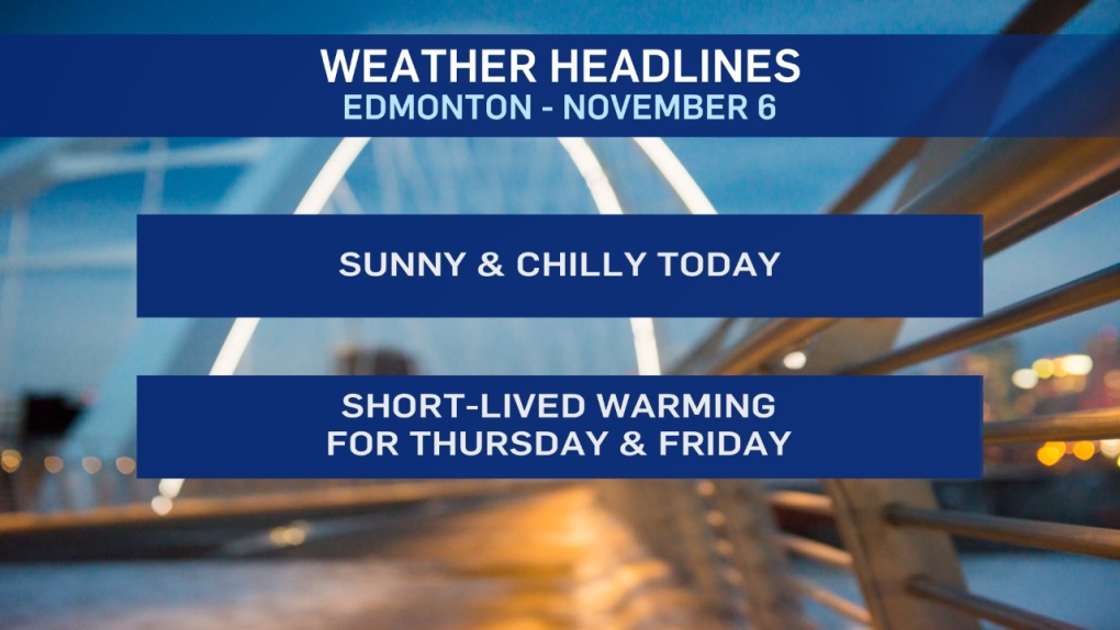
Cold air hangs over most of Alberta for one more day before moving east.
In Edmonton and area, temperatures are in the -15 to -20 range this morning and should climb into the -5 to -10 range this afternoon.
The upside is that it'll be sunny and wind should be relatively light through the day.
We'll start Thursday on the chilly side (again). But, clouds and warmer air coming racing in through the afternoon.
Western Alberta should climb above zero while temperatures in the east may still be around -5.
Edmonton gets into the 0 to -5 range Thursday afternoon and then continues to warm up Thursday night.
Friday will be cloudy with a risk of scattered showers. BUT...it'll be our warmest day as temperatures get to around 5 degrees.
Don't get used to it. Colder air drops back into Friday evening and flips that rain to snow for Friday night/Saturday.
Snowfall totals are TBD - But this COULD be another heavy snow event for NW and western AB.
It's uncertain whether that heavier snow pushes far enough east to hit Edmonton or stays to the WNW.
Edmonton will get snow. The question is: Will it be 1-5 cm or closer to 10 cm?
Cold for the weekend BUT a warmer pattern looks set to develop next week.
Here's the forecast for Edmonton:
- Today – Mainly sunny. Light wind.
- High: -5
- Tonight - Mostly clear overnight.
- 9pm: -12
- Thursday - Partly cloudy in the morning. Mostly cloudy in the afternoon.
- Morning Low: -16
- Afternoon High: -1
- Temperature rising overnight.
- Friday - Mostly cloudy. 40% chance of showers during the day.
- 70% chance of showers turning to snow in the evening/overnight.
- Morning: 2
- Afternoon High: 5
- Saturday - Cloudy. 40% chance of flurries or periods of snow.
- Morning Low: -12
- Afternoon High: -9
- Sunday - Partly cloudy.
- Morning Low: -17
- Afternoon High: -11
- Monday - Cloudy. 30% chance of late-day flurries.
- Morning Low: -15
- Afternoon High: -7
