There's snow on the ground in the foothills, mountains and parts of southern Alberta this morning.
A few highway cameras just east of Red Deer look snowy too.
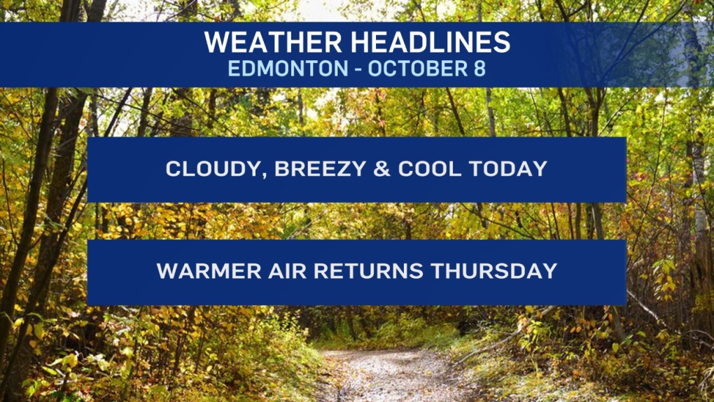
But, as expected, the wet flurries overnight in the Edmonton region didn't amount to anything and now we just have a couple of chilly days to deal with.
Temperatures will rebound to highs in the 8 to 10 degree range for Thu/Fri/Weekend.
Until then - we'll spend most of today and tomorrow near or below zero.
20 to 30 km/h wind will make it FEEL more like -5 to -8 most of today.
Skies clear and the wind eases tonight. Temperatures drop to about -6 Wednesday morning.
Then...sunny, light wind and a high of 3 degrees Wednesday.
That doesn't seem much warmer than today. But, with sun and light wind, it should FEEL a lot better.
Snow Outlook:
Snow will continue in the foothills and mountains through this morning and then taper off this afternoon.
Areas around Edmonton and across northern AB might see a dozen or so snowflakes today. But, no signficant snow.
Here's the forecast for Edmonton:
- Today - Mostly cloudy. Wind: NW 20-30 km/h
- High: 1
- Evening - Partly cloudy overnight. Wind easing.
- 9pm: -2
- Wednesday - Sunny with a few clouds. Light wind.
- Morning Low: -6
- Afternoon High: 3
- Thursday - Mainly sunny.
- Morning Low: -6
- Afternoon High: 8
- Friday - Mainly sunny.
- Morning Low: -5
- Afternoon High: 10
- Saturday - Mainly sunny.
- Morning Low: -3
- Afternoon High: 10
- Sunday - Mostly cloudy.
- Morning Low: -2
- Afternoon High: 8
