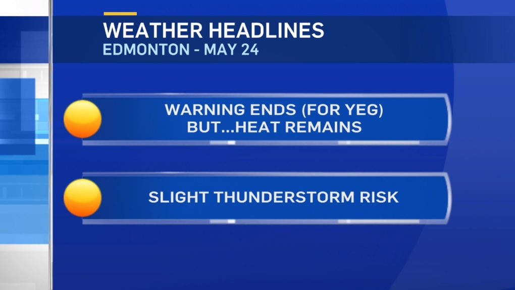
We've had a few showers and even an early-morning thunderstorm south of Edmonton.
An Upper Low has slowly pushed in over Alberta from the south.
We'll see a few more showers and thunderstorms in the foothills and NW Alberta later today.
East-Central and NE Alberta also look like targets for some showers and thunderstorms.
The Edmonton region is a CHANCE. But, it'll be scattered activity in the area this afternoon and evening.
So, not everyone will get precipitation. AND...even areas that DO get "hit" probably won't receive much moisture.
That's also true of the slight risk of a late-day shower Friday and the chance of some hit-n-miss showers in the Edmonton region early Saturday.
Clouds, a bit of precipitation possible. But, no significant moisture.
So...when's the next big soaking rainfall?
In short - no time soon.
We MAYBE get some steadier rain the middle of next week. But, that's a long way off and I wouldn't bank on it.
The Heat Warning has ended for Edmonton and area. However, we'll still be well above average with highs in the mid to upper 20s today and Friday.
The Peace River/High Level and the Fort McMurray/Fort Chipewyan regions remain under the Heat Warning for another day.
Here's the Edmonton forecast:
Today - Mix of sun & cloud. 40% chance of scattered showers and/or thunderstorms.
High: 27
(Record: 29.4 - 1940)
Evening - 40% chance of a shower or thunderstorm early this evening.
9pm: 23
Friday - Partly cloudy. 30% chance of a late-day shower or thunderstorm.
Morning Low: 15
Afternoon High: 28
(Record: 32.2 - 1934)
Saturday - 30% chance of a shower in the morning. Then...a Mix of sun & cloud.
Morning Low: 16
Afternoon High: 23
Sunday - Mainly sunny.
Morning Low: 13
Afternoon High: 26
Monday - Mainly sunny.
Morning Low: 13
Afternoon High: 30
Tuesday - Partly cloudy.
Morning Low: 14
Afternoon High: 28
