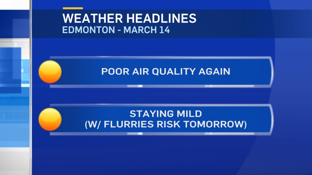
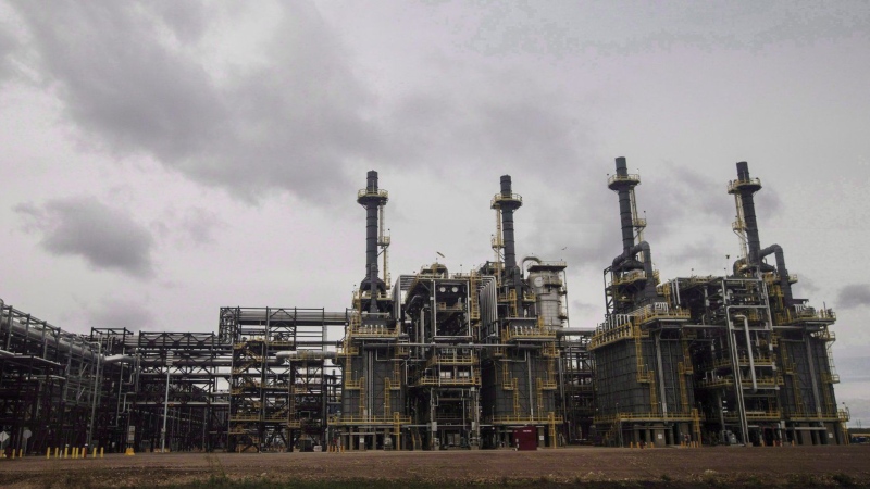
Air quality advisories remain in effect for Edmonton and area.
Regions from Evansburg to Vegreville and south to Red Deer are also under that advisory.
AND...some of those spots also have Fog Advisories this morning.
The reason for both alerts is the same: Omega Block
There are areas of Low Pressure off the west coast and over regions east of the prairies.
Between those 2 systems, an Upper Ridge is being held in place over the prairies.
So, we have an inversion (warmer air aloft) trapping the moisture at the surface (generating fog).
It's also preventing pollution from rising and being carried away (so air quality has deteriorated).
So...not much is going to change until the blocking pattern breaks down.
That should happen over the next couple days as the pacific Low cuts across the southern edge of the ridge.
As it moves east through the northern US, it'll slap some moisture up against the foothills and across southern Alberta.
Rain, freezing rain and snow (probably HEAVY in some areas) will be a problem Thu/Fri.
Most (possibly all) of that snow will be south and west of the Edmonton region.
However, a few flurries are possible in Edmonton.
Temperatures will drop in southern Alberta while Central and Northern Alberta enjoys more mild temperatures.
Here's the Edmonton forecast:
Today - Partly cloudy. SE 15-20km/h
Hazy for much of the day
High: 5
Evening - Partly cloudy. Air Quality expected to improve.
9pm: -2
Thursday - Mostly cloudy. 40% chance of flurries
Morning Low: -7
Afternoon High: 4
Friday - Mostly cloudy. 30% chance of flurries.
Morning Low: -6
Afternoon High: 4
Saturday - Mostly cloudy. 40% chance of flurries.
Morning Low: -7
Afternoon High: 5
Sunday - Mostly cloudy.
Morning Low: -6
Afternoon High: 6
Monday - Mix of sun & cloud.
Morning Low: -9
Afternoon High: 5
