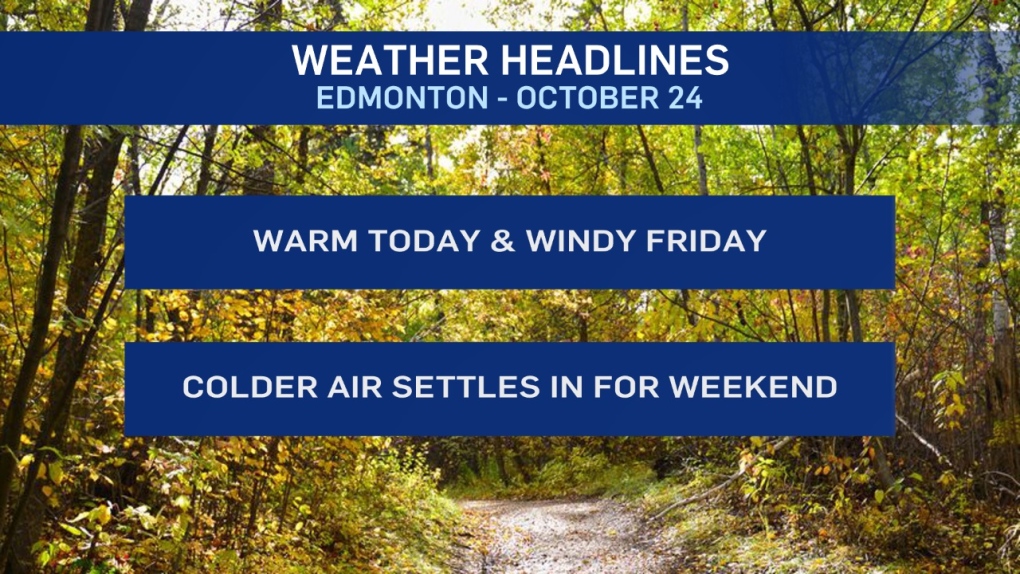
A short-lived warm spell will come to a windy & chilly end late Friday/Saturday.
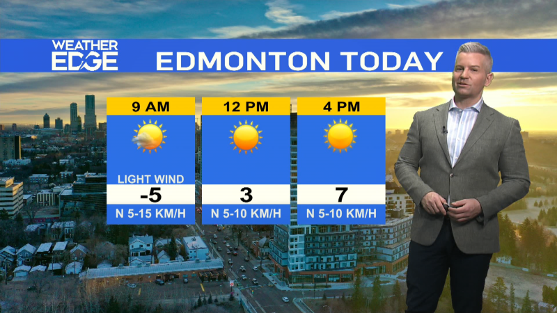
Temperatures will climb into double digits this afternoon in Edmonton and across most of the province.
Wind turns a bit breezy this afternoon. But, nothing like tomorrow.
Tomorrow is transition day. A low pressure system develops west of Edmonton in the morning.
Ahead of that low - warm.
Behind that low - precipitation, gusty wind and a blast of cold air.
Regions north and NE of Edmonton will get some showers Friday while the NW and foothills areas gets a rain/snow mix turning to snow.
In parts of the Peace Country, Swan Hills and foothills regions we may see accumulation in the 5-10cm range by Friday night.
Gusty wind may also create difficulty on roads due to blowing snow.
In the Edmonton area - warm temperatures and breezy in the morning.
THEN...the wind swings around to the NW and gusts to around 70 km/h late in the day while we get showers or a rain/snow mix.
Afternoon Highs drop from double digits to "near 0" for Sat/Sun/Mon.
AND...while we're not anticipating a lot of snow in Edmonton, there's a slight risk of flurries late Monday.
Here's the forecast for Edmonton:
- Today – Cloudy with a few sunny breaks.
- Wind becoming WEST 20 gusting to 40 km/h this afternoon.
- High: 12
- Evening – Cloudy with a 40% chance of a few showers late this evening/overnight.
- Wind easing.
- 9pm: 3
- Friday – Mostly cloudy. 70% chance of showers in the late afternoon and/or evening.
- Wind SW 30 gusting to 50 early. THEN...NW 50 gusting to 70 later in the day.
- Morning Low: 4
- Afternoon High: 11
- Saturday - Mix of sun & cloud.
- Morning Low: -2
- Afternoon High: 1
- Sunday - Mostly cloudy. 30% chance of flurries in the evening.
- Morning Low: -5
- Afternoon High: 3
- Monday - Mix of sun & cloud.
- Morning Low: -6
- Afternoon High: 0
- Tuesday - Partly cloudy.
- Morning Low: -6
- Afternoon High: 3
