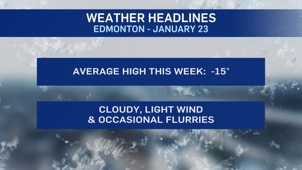
EDMONTON -- Arctic air, clouds and occasional flurries will dominate the next few days in Edmonton and much of central and north-central Alberta.
Areas further NE will get a bit of clearing (and even colder temperatures)
The flurries won't amount to much. But we got a bit of a fresh ground-cover over the weekend and we can expect more of the same today, tomorrow and Wednesday.
Temperatures are expected to be near -20 in the morning and in the minus teens through the afternoons.
At those levels, a 10-15 km/h wind will make it FEEL about 5 to 10 degrees colder.
So, wind chill won't be a major factor. But, if you're working outdoors or spending significant amounts of time outside, keep the wind chill in mind.
If and when wind chill dips into the -28 to -39 range...exposed skin can freeze in 10-30 minutes.
This week won't be AS frigid as the cold spell we had last January.
But, it WILL be the coldest stretch of weather since then.
We had an average high of -22 for Jan 9-19, 2020.
We're forecasting at an average high of -15 for Jan 24-Feb 1, 2021.
Some sunnier conditions should develop towards the end of this week.
But, we're probably not back to the -10 range until this weekend or early next week.
A return to highs near -5 or warmer isn't likely until sometime in the middle or end of next week.
HERE'S THE FORECAST FOR EDMONTON:
- Today - Mostly cloudy.
- Wind: E 10-15 km/h
- High: -18
- Tonight - Mostly cloudy. 60% chance of flurries overnight.
- 9pm: -19
- Tuesday - Mostly cloudy. 60% chance of flurries in the morning.
- Wind: E 10-15 km/h
- Morning Low: -20
- Afternoon High: -15
- Wednesday - Mostly cloudy. 60% chance of a few flurries.
- Morning Low: -15
- Afternoon High: -13
- Thursday - Mix of sun & cloud.
- Morning Low: -20
- Afternoon High: -16
- Friday - Partly cloudy.
- Morning Low: -21
- Afternoon High: -14
- Saturday - Mainly sunny.
- Morning Low: -20
- Afternoon High: -12


