EDMONTON -- Rain rolled through the Edmonton region early this morning with most of the area receiving 2 to 5 mm.
There's still a slight risk of a scattered light shower hitting parts of the region later this morning.
But most of the organized precipitation is out of the Edmonton region.
Areas to the south and east will continue to get showers/rain this morning.
Most of this afternoon's showers/thundershowers will be in east-central and northeast Alberta.
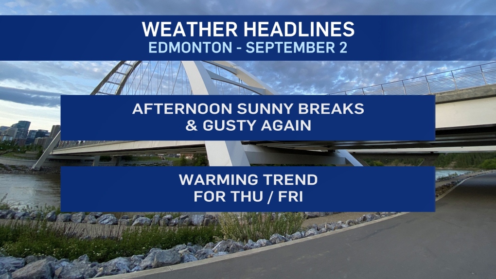
Sunny breaks and a high near 17 degrees in the Edmonton metro region this afternoon.
That's a bit cooler than yesterday and the wind will be an issue once again with sustained wind in the 20-30 km/h range and gusts in the 40-50 range.
Calmer conditions develop for Thu/Fri and temperatures climb back to around 20 Thursday and then into the low 20s Friday.
The weekend outlook has taken a bit of a turn with both the GEM and GFS models now pushing rain into central/north-central AB for Saturday.
There's a fair amount of uncertainty with that Sat/Sun forecast though. I wouldn't be cancelling or making plans based on the weather outlook for the weekend just yet.
Check back later today or early Thursday and we'll hopefully have a "clearer" picture.
HERE'S THE FORECAST FOR EDMONTON:
- Today - Mostly cloudy with a 30% chance of a shower this morning.
- Mix of sun and cloud this afternoon.
- Wind: WNW 30 gusting to 50 km/h late this morning and this afternoon.
- High: 17
- Tonight - Partly cloudy.
- 9pm: 13
- Thursday - Mix of sun & cloud.
- Morning Low: 7
- Afternoon High: 19
- Friday - Mix of sun & cloud.
- Morning Low: 9
- Afternoon High: 22
- Saturday - Mostly cloudy. 30% chance of showers.
- Morning Low: 10
- Afternoon High: 18
- Sunday - Mix of sun & cloud.
- Morning Low: 6
- Afternoon High: 15
- Monday - Partly cloudy.
- Morning Low: 4
- Afternoon High: 14


