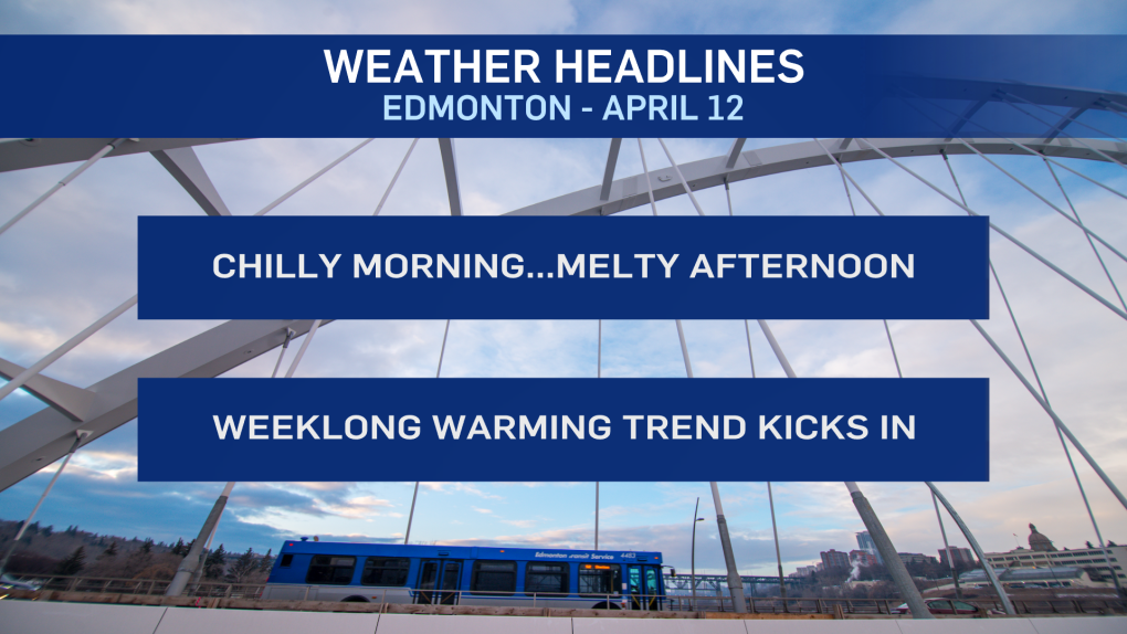
EDMONTON -- After being reminded that it's still only April (and it DOES snow in April), we're at the start of a warming trend this week.
That trend should have us looking at daytime highs in the mid to upper teens by Friday or Saturday.
But, there might be another abrupt end to it all on Sunday with another bout of rain turning to snow.
That's a long ways off at this point, and that outlook could certainly change. However, April in Edmonton has an average snowfall of 15 cm and the month of May averages 5 cm of snow.
So, this past weekend may not have been the last snow we'll see this spring.
In fact, there are a few flurries northwest of Edmonton this morning. I don't think we'll see much of that in the city though.
Should be a "mix of sun and cloud" through the day with a high near 6 C this afternoon.
We're in for another chilly morning Tuesday, with temperatures in the -5 to -9 C range across the city and suburbs.
Breezy and a high near 10 with sunny skies in the afternoon.
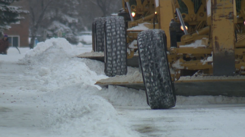
Most of the snow should be gone by the end of today. Whatever's left will be melted by the end of Tuesday.
Sunny skies dominate the weather patter for Tuesday through Friday. Temperatures will hit highs in the 11 to 15 degree range by Wednesday and Thursday.
We're even warmer Friday and Saturday with highs in the 15 to 20 degree range.
Here's the forecast for Edmonton:
Today - Mix of sun & cloud.
High: 6
Tonight - Partly cloudy.
9pm: 0
Tuesday - Mainly sunny. Breezy. SE 20 km/h in the afternoon.
Morning Low: -7
Afternoon High: 9
Wednesday - Mainly sunny.
Morning Low: -4
Afternoon High: 12
Thursday - Mainly sunny.
Morning Low: -2
Afternoon High: 14
Friday - Mainly sunny.
Morning Low: 0
Afternoon High: 17
Saturday - Partly cloudy.
Morning Low: 2
Afternoon High: 17


