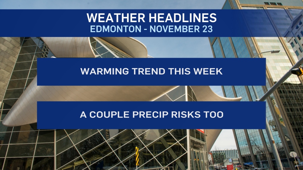
EDMONTON -- The dominant weather pattern for the Edmonton region this week is a warming trend.
We started this month well above average and we'll end the month with warmer-than-average temperatures.
More cloud than sun and a high in the -2 to -4 range in the city today.
But, we'll be in the 0 to 5 degree range for Tue/Wed/Thu/Fri with Friday likely being the warmest day of the week.
Today, snow in NE Alberta moves out this afternoon.
Dense fog in the Whitecourt/Edson region is expected to lift midday and then return this evening.
A widespread area of fog could develop over parts of western AB tonight/early Tuesday and that may include parts of the Edmonton region.
A low pressure system moving across northern Alberta on Tuesday brings some snow to the north.
NW Alberta could get some rain/snow mix or freezing rain Tuesday evening.
For Edmonton and area, there's a risk of some wet snow and/or freezing rain Tuesday night and early Wednesday morning.
HERE'S THE FORECAST FOR EDMONTON:
- Today - Cloudy with sunny breaks.
- High: -3
- Tonight - Clearing overnight.
- 9pm: -7
- Tuesday - Mix of sun & cloud.
- Morning Low: -9
- Afternoon High: 1
- Risk of wet snow and/or freezing rain overnight.
- Wednesday - 40% chance of flurries in the morning. Then, Mostly cloudy.
- Morning Low: -6
- Afternoon High: 0
- Thursday - Mix of sun & cloud.
- Morning Low: -8
- Afternoon High: 2
- Friday - Partly cloudy.
- Morning Low: -4
- Afternoon High: 3
- Saturday - Mostly cloudy. 30% chance of flurries in the morning.
- Temperature falling through the day.
- Morning: -2
- Afternoon: -5


