Josh Classen's forecast: Warming trend begins
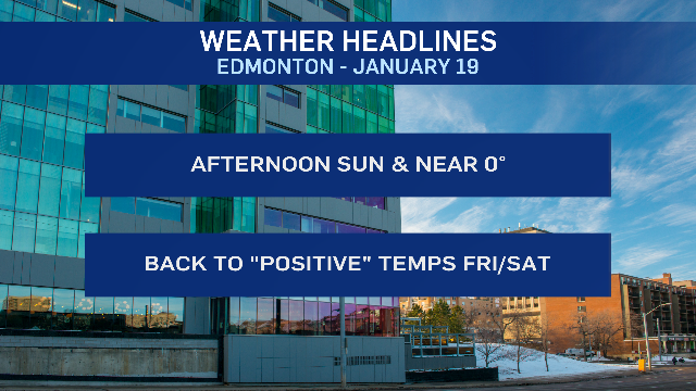
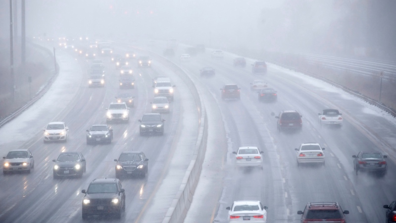
After a couple days with daytime highs below -5 C, we'll see temperature get a bit closer to the freezing mark this afternoon.
In fact, today should be our warmest day in a while. We haven't been above -4 C since Jan. 9. But, we should get to around -2 C this afternoon.
Friday and Saturday's highs will be Edmonton's warmest in months. The city hasn't been above 0 C since Nov. 27.
Today will likely be our 53rd consecutive day with a sub-zero high and that'll make this the third-longest streak of consecutive days below freezing.
BUT...we'll probably get just above 0 C on Friday and if we don't, there's a very good chance of being just above the freezing mark on Saturday.
An upper ridge (bubble of warmer air aloft) is rippling in from the west over the next few days.
Morning clouds will give way to sunshine, light wind and a high just slightly below 0 C this afternoon.
Again...we'll probably see some clouds move through the region overnight and early Friday. Then, sunshine and a high near 1 C.
(Is it possible that we stay JUST below 0 C?... Yeah. But, I think we'll JUST break in positives.)
Saturday's cloudier with a chance of some precipitation. There's a slight risk of some patchy freezing rain in parts of central and north-central Alberta early in the morning.
The better chance for precipitation in the Edmonton area looks to be later in the day with a chance of showers turning to some rain/snow mix and then possibly some wet snow late Saturday night.
So...roads could be a bit of a mess Sunday morning.
Temperatures are expected to slip a bit through the day Sunday, slightly below 0 C in the morning and somewhere near -5 C by late afternoon.
Most of next week is shaping up mild with highs near 0 C. (Somewhere in the 2 C to -3 C range.)
BUT...watch for some colder air to drop in as we close out January and the early indications are that we'll see some cold air return for the start of February.
At this point, we're expecting daytime highs in the minus double-digits...probably somewhere in the -12 C to -16 C range. But, that's still a ways off. So, we'll see how that pattern develops.
As for that streak of consecutive days below 0 C.
Here's a list of the longest stretches:
- 1956: 83 days
- 1950: 67 days
- ***2023: 52 days (today will likely be our 53rd)
- 1978: 52 days
- 1952: 48 days
- 1916: 46 days
It looks very unlikely that we'll end up higher than third place since we'd have to get to Feb. 1 to tie for second.
AND...there IS an outside chance that we get just slightly above 0 C today, which would leave us in a tie for third with 1978.
Here's the forecast for Edmonton and area:
Today - Mix of sun & cloud this morning. Sunny this afternoon.
High: -2
Tonight - Cloudy periods overnight.
9pm: -6
Friday - Morning clouds, afternoon sun.
Morning Low: -10
Afternoon High: 2
Saturday - Mostly cloudy. Slight risk of pockets of freezing rain in the morning.
40% chance of late-day showers, possibly turning to snow overnight.
Morning Low: -4
Afternoon High: 3
Sunday - Clearing in the afternoon. Windy.
Temperature falling through the day.
Morning -1
Afternoon : -4
Monday - Mix of sun & cloud.
Morning Low: -12
Afternoon High: -1
CTVNews.ca Top Stories

Trump threatens to try to take back the Panama Canal. Panama's president balks at the suggestion
Donald Trump suggested Sunday that his new administration could try to regain control of the Panama Canal that the United States “foolishly” ceded to its Central American ally, contending that shippers are charged “ridiculous” fees to pass through the vital transportation channel linking the Atlantic and Pacific Oceans.
Man handed 5th distracted driving charge for using cell phone on Hwy. 417 in Ottawa
An Ottawa driver was charged for using a cell phone behind the wheel on Sunday, the fifth time he has faced distracted driving charges.
Wrongfully convicted N.B. man has mixed feelings since exoneration
Robert Mailman, 76, was exonerated on Jan. 4 of a 1983 murder for which he and his friend Walter Gillespie served lengthy prison terms.
Can the Governor General do what Pierre Poilievre is asking? This expert says no
A historically difficult week for Prime Minister Justin Trudeau and his Liberal government ended with a renewed push from Conservative Leader Pierre Poilievre to topple this government – this time in the form a letter to the Governor General.
opinion Christmas movies for people who don't like Christmas movies
The holidays can bring up a whole gamut of emotions, not just love and goodwill. So CTV film critic Richard Crouse offers up a list of Christmas movies for people who might not enjoy traditional Christmas movies.
More than 7,000 Jeep SUVs recalled in Canada over camera display concern
A software issue potentially affecting the rearview camera display in select Jeep Wagoneer and Grand Cherokee models has prompted a recall of more than 7,000 vehicles.
'I'm still thinking pinch me': lost puppy reunited with family after five years
After almost five years of searching and never giving up hope, the Tuffin family received the best Christmas gift they could have hoped for: being reunited with their long-lost puppy.
10 hospitalized after carbon monoxide poisoning in Ottawa's east end
The Ottawa Police Service says ten people were taken to hospital, with one of them in life-threatening condition, after being exposed to carbon monoxide in the neighbourhood of Vanier on Sunday morning.
New York City police apprehend suspect in the death of a woman found on fire in a subway car
New York City police announced Sunday they have in custody a “person of interest” in the early morning death of a woman who they believe may have fallen asleep on a stationary subway train before being intentionally lit on fire by a man she didn't know.


