Josh Classen's forecast: Warm Saturday, big cooldown begins Sunday
It'll be a classic autumn "transition weekend" in the Edmonton area.
Warm air floods in on Saturday and then we're back to average Sunday and near zero FOR AN AFTERNOON HIGH on Monday.
We're still out ahead of that warmest air today. Morning sun gives way to some afternoon clouds, but temperatures should be similar to yesterday with a high around 12 degrees.
The big change from yesterday will be the wind. Gusts were up around 60 km/h midday Thursday. Today, it'll get a bit breezy this afternoon...but nowhere even close to yesterday.
We'll have wind speeds around 15 gusting at times to 30 km/h for a few hours this afternoon.
A big area of low pressure off the west coast will kick in the warmer air from the south on Saturday.
Parts of southern Alberta will get to around 20.
The Edmonton region and central AB will hit the mid to upper teens (for one day only).
Northern Alberta will stay closer to 10 for daytime highs. We'll also have some showers and wet snow pushing across northern AB Saturday and Sunday.
There's a slight chance of a spotty shower in the Edmonton area Saturday evening, but it looks like our best chance for precipitation this weekend will be Sunday afternoon and evening.
Cooler air from the north starts to drop in through the day Sunday and we may even get some wet flurries Sunday night and/or early Monday.
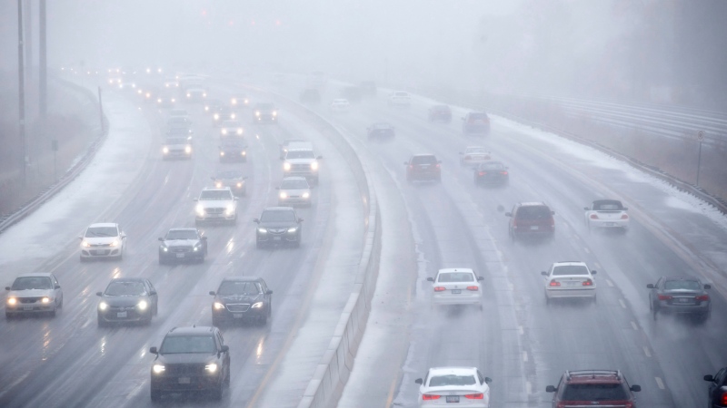
Monday's shaping up to be the coolest day of the week. I think we'll hover around the freezing mark all day Monday and I'm leaving in a slight risk of some flurries for Monday. But, there's still not a lot of confidence in that precip outlook for Monday.
We probably won't have a really decent handle on the Monday precip chance until Sunday. Doesn't look like anything significant at this point...if we get anything at all.
That chilly Monday will make the rest of the week feel "better".
Temperatures are still expected to be slightly cooler than average, though. I think daytime highs will bounce between 4 and 9 degrees from Tue-Sat.
Bottom line - Saturday's our last day with mid to upper teen temperatures for a WHILE.
Here's the forecast for Edmonton and area:
Today - Partly cloudy. A bit breezy this afternoon.
High: 12
Tonight - Partly cloudy.
9pm: 9
Saturday - Mix of sun & cloud. Slight risk of an evening shower.
Morning Low: 5
Afternoon High: 17
Sunday - Mostly cloudy. 60% chance of afternoon rain, risk of wet snow overnight.
Morning Low: 4
Afternoon High: 11
Monday - Mostly cloudy. Slight risk of a few flurries.
Morning Low: 0
Afternoon High: 2
Tuesday - Mix of sun & cloud.
Morning Low: -4
Afternoon High: 5
Wednesday - Partly cloudy.
Morning Low: -3
Afternoon High: 7
CTVNews.ca Top Stories

Trump threatens to try to take back the Panama Canal. Panama's president balks at the suggestion
Donald Trump suggested Sunday that his new administration could try to regain control of the Panama Canal that the United States “foolishly” ceded to its Central American ally, contending that shippers are charged “ridiculous” fees to pass through the vital transportation channel linking the Atlantic and Pacific Oceans.
Man handed 5th distracted driving charge for using cell phone on Hwy. 417 in Ottawa
An Ottawa driver was charged for using a cell phone behind the wheel on Sunday, the fifth time he has faced distracted driving charges.
Wrongfully convicted N.B. man has mixed feelings since exoneration
Robert Mailman, 76, was exonerated on Jan. 4 of a 1983 murder for which he and his friend Walter Gillespie served lengthy prison terms.
Can the Governor General do what Pierre Poilievre is asking? This expert says no
A historically difficult week for Prime Minister Justin Trudeau and his Liberal government ended with a renewed push from Conservative Leader Pierre Poilievre to topple this government – this time in the form a letter to the Governor General.
opinion Christmas movies for people who don't like Christmas movies
The holidays can bring up a whole gamut of emotions, not just love and goodwill. So CTV film critic Richard Crouse offers up a list of Christmas movies for people who might not enjoy traditional Christmas movies.
More than 7,000 Jeep SUVs recalled in Canada over camera display concern
A software issue potentially affecting the rearview camera display in select Jeep Wagoneer and Grand Cherokee models has prompted a recall of more than 7,000 vehicles.
'I'm still thinking pinch me': lost puppy reunited with family after five years
After almost five years of searching and never giving up hope, the Tuffin family received the best Christmas gift they could have hoped for: being reunited with their long-lost puppy.
10 hospitalized after carbon monoxide poisoning in Ottawa's east end
The Ottawa Police Service says ten people were taken to hospital, with one of them in life-threatening condition, after being exposed to carbon monoxide in the neighbourhood of Vanier on Sunday morning.
New York City police apprehend suspect in the death of a woman found on fire in a subway car
New York City police announced Sunday they have in custody a “person of interest” in the early morning death of a woman who they believe may have fallen asleep on a stationary subway train before being intentionally lit on fire by a man she didn't know.


