Josh Classen's forecast: Coldest air settles in and snow returns
These next few days will be the bottom of the cold spell for the Edmonton region with temperatures several degrees colder than the past week.
Daytime highs have stayed above -15 C up to this point, but that looks like it'll change today, Friday and Saturday and mornings will be around the -20 C mark for each of the next few days.
Even colder temperatures are expected in northern and eastern Alberta, while the mountain parks continue to be rather mild.
There's been some uncertainty with the Sunday temperatures and I'm now leaning more toward us staying in the cold air. There will be some slight moderation, but afternoon temperatures probably won't get much "warmer" than -12 C to -15 C.
That said, we'll probably see some milder air start to push in Sunday night and we should climb to the -5 C range by late Monday afternoon.
The warming continues through Monday night and we're expecting temperatures to be slightly above 0 C for Tuesday afternoon and Wednesday afternoon.
There's a big upper ridge that'll move in from the west and push all the cold air out, so even eastern Alberta will get into some warmer air next week and we'll get milder conditions across the north.
Beyond Wednesday, there are some early signs we might get a disturbance rippling down the eastern edge of the ridge that could bring some heavy snow to parts of Alberta, so we'll keep an eye on it. As of right now it's just too early to have much confidence in that.
Precipitation outlook:
Northwest Alberta will get a series of "moisture punches" over the coming days and it looks like there could be some significant accumulation by the end of the weekend.
Meteorologists in ECCC's storm prediction centre are discussing the potential for 20-30 cm of snow, mainly in areas between Hinton and Grande Prairie and near the B.C. border.
Outside of that hardest-hit area, 5 to 15 cm of total snowfall looks possible for parts of the Edson/Whitecourt/Peace River areas.
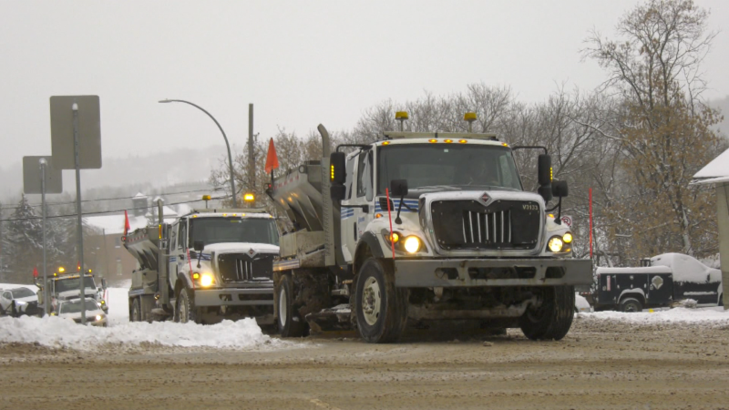
The snowfall intensity should drop off as those punches of moisture move ESE. By the time they make it to the Edmonton region, we're not anticipating any massive accumulation.
That said, I think 3-10 cm of fresh snow is possible by the end of the weekend in and around the Edmonton area.
We have a chance of some flurries this evening. Then, 1-4 cm of snow is possible Friday (especially in the afternoon). The next punch comes Saturday afternoon and that could give us 1-3 cm.
Then...even Sunday has a chance of some flurries. So, cumulatively, that will likely give us somewhere in the 3-10 cm range.
Here's the forecast for Edmonton and area:
Today - 30% chance of flurries early this morning, then a Mix of sun & cloud.
High: -16
Tonight - Mostly cloudy. 40% chance of flurries.
9pm: -17
Friday - Cloudy with periods of snow. 1 to 4 cm likely.
Morning Low: -19
Afternoon High: -16
Saturday - Cloudy. 60% chance of afternoon snow. 1 to 3 cm likely.
Morning Low: -21
Afternoon High: -17
Sunday - Cloudy. 30% chance of flurries.
Morning Low: -18
Afternoon High: -14
Monday - Mostly cloudy.
Morning Low: -15
Afternoon High: -5
Tuesday - Mix of sun & cloud.
Morning Low: -3
Afternoon High: 3
CTVNews.ca Top Stories

DEVELOPING Poilievre calls two-month GST break inflationary, says Tories will vote against it
Conservative Leader Pierre Poilievre says his party will vote against Liberal legislation to remove the federal sales tax off a slew of items over the holidays.
Canada Post temporarily laying off striking workers, union says
The union representing Canada Post workers says the Crown corporation has been laying striking employees off as the labour action by more than 55,000 workers approaches the two-week mark.
B.C. man lied about cancer diagnosis while dodging $330K debt, court hears
A construction contractor from B.C.’s Lower Mainland has been ordered to repay a $330,000 loan from a friend who gave him leeway for years, despite her own financial suffering – all because she was under the false impression he had brain cancer.
Good Samaritan killed in tragic accident while helping stranded Calgary driver
Calgary police say a Good Samaritan who stopped to help another motorist was killed in an accident on Wednesday night.
Man jumps out of moving roller-coaster after safety belt fails
Terrifying video shows a man jumping out of a moving roller-coaster in Arizona after he says his safety belt failed.
Canadian woman shares methanol poisoning story in wake of death investigation in Laos hostel
Cuddling on the couch with her dog, Ducky, no one would notice that anything is different about Ashley King. Even when she walks across the living room, she doesn’t miss a step. But the 32-year-old has gotten used to functioning with only two per cent vision.
W5 Investigates 'Let me rot in Canada,' pleads Canadian ISIS suspect from secret Syrian prison
W5's Avery Haines tells the story of Jack Letts, a Canadian Muslim convert in a Syrian jail, accused of being a member of ISIS. In part two of a three-part investigation, Haines speaks with Letts, who issues a plea to return to Canada to face justice.
Carrot recall for E. coli risks updated with additional product, correction: CFIA
The Canadian Food Inspection Agency (CFIA) has published an update to a recent national recall on organic carrot brands over E. coli contamination risks.
Toronto woman injured after falling out of wheelchair provided by Air Canada, husband says
What could have possibly been Sheila Rizzuto’s last vacation ever was ruined after she fell out of an Air Canada-provided wheelchair and badly injured herself, according to her husband.


