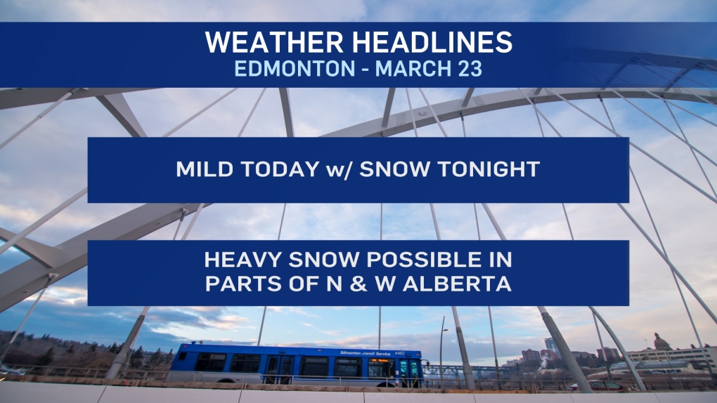
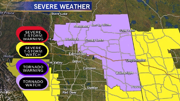
EDMONTON -- After a warm weekend, things are set to turn stormy in NW and W Alberta.
Edmonton and area will likely get a couple centimetres of snow tonight.
We might see a few flurries start up as early as this afternoon.
But, most of the 1-4 cm of accumulation should come overnight/early Tuesday morning.
It'll be a LOT more than that further NW though.
Areas between Grande Prairie, Slave Lake and Whitecourt will get 5-10 cm with localized areas of 10-15 cm.
We're also anticipating 10-15 cm of snow in areas from Edson south to Rocky Mountain House.
Further east, areas from Athabasca to Bonnyville could get 4-8 cm of snow (roughly).
There's also the possibility for some heavier pockets of snow early Tuesday in the Coronation region.
The worst of that storm misses the Edmonton area, although we will get SOME snow.
Behind this system, temperatures slide for Tuesday and we're back below zero for a daytime high.
BUT...it's short-lived. We'll warm to a high near zero Wednesday and above zero Thu/Fri.
LONG RANGE Outlook:
Watch for another chance of snow late Friday in Saturday.
HERE'S THE FORECAST FOR EDMONTON:
- Today – Mostly cloudy. Wind 15-20 km/h.
- 40% chance of flurries this afternoon.
- High: 1
- Tonight - Cloudy with periods of snow. 1-4 cm.
- 9pm: -2
- Tuesday - 30% chance of morning flurries. Mostly cloudy.
- Morning Low: -6
- Afternoon High: -3
- Wednesday - Mix of sun & cloud.
- Morning Low: -13
- Afternoon High: -1
- Thursday - Mix of sun & cloud.
- Morning Low: -7
- Afternoon High: 5
- Friday - Mostly cloudy. 40% chance of snow.
- Morning Low: -4
- Afternoon High: 2
- Saturday - Cloudy. 30% chance of snow.
- Morning Low: -11
- Afternoon High: -4
