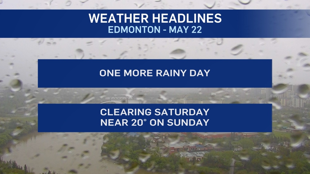
EDMONTON -- Early-morning wet snow and rain/snow mix has developed over the Edmonton area.
That should flip back to rain later this morning and we're in for another cool and rainy day across most of central and northern Alberta.
Roughly 30-50 mm of rain has already fallen on most of the area.
About 5-10 mm is expected today.
Wind gusts in the 30 to 40 km/h range will stick around through the day and into this evening.
Temperatures in Edmonton will be in the 5 to 7 degree range for much of the day.
As long as we keep the clouds overnight and early Saturday morning, we'll avoid frost.
However, ANY areas in Central and Northern Alberta that get a bit of clearing overnight may slip below zero.
Edmonton and area probably doesn't get any clearing until midday Saturday.
Partly cloudy and a high in the mid teens Saturday afternoon as warmer air returns.
Near 20 with sun on Sunday.
Scattered showers or thunderstorms are possible on Sunday, especially across parts of northern and western AB.
Slight risk of one of those pushing into the Edmonton metro region Sunday evening.
HERE'S THE FORECAST FOR EDMONTON:
- Today – Rain/snow mix early this morning. Then...Cloudy with periods of light rain.
- 5-10 mm likely by this evening.
- Wind - NW 20 gusting to 40 km/h.
- High: 7
- Tonight - Cloudy. Rain ending overnight or early Saturday morning.
- Wind - NW 20 gusting to 40 km/h.
- 9pm: 5
- Saturday - Clouds in the morning. Clearing in the afternoon.
- Wind - NW 10-20 km/h.
- Morning Low: 4
- Afternoon High: 15
- Sunday - Partly cloudy.
- Morning Low: 5
- Afternoon High: 19
- Monday - Partly cloudy.
- Morning Low: 7
- Afternoon High: 18
- Tuesday - Mix of sun & cloud.
- Morning Low: 9
- Afternoon High: 19
- Wednesday - Partly cloudy.
- Morning Low: 9
- Afternoon High: 17


