Fog redeveloped over the Capital Region overnight & fog advisories are in effect this morning.
Those should be lifted (as the fog dissipates) mid to late morning.
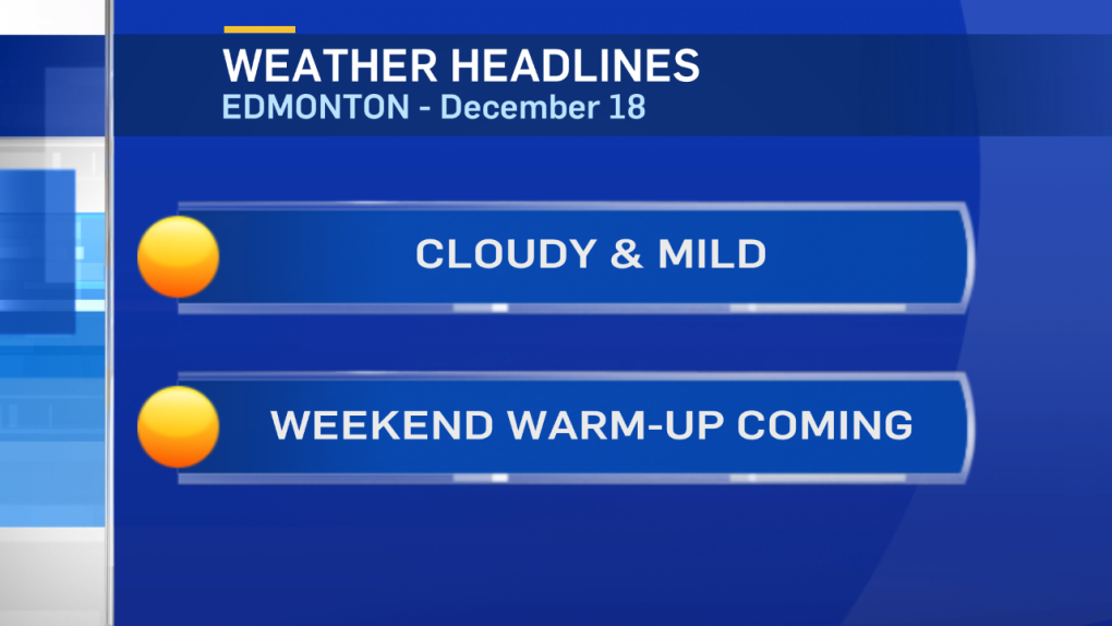
It's still a pretty inactive atmosphere that we're locked into. That's part of the reason we have the fog again.
And...it's also part of the reason we haven't been able to get rid of these low clouds.
Today, (just like yesterday) there's a chance of a few sunny breaks.
Those cracks in the cloud didn't develop yesterday, we'll see what happens today.
I've put the slight risk of a brief flurry back into the forecast for tomorrow night.
This doesn't look like significant snow & the risk isn't very high. But, we can't completely rule out seeing a few flakes.
Temperatures climb above zero Sunday.
That's the warmest day of the forecast period AND the shortest day of the year.
After Sunday's winter solstice, days will start to get longer.
They'll start to get colder too.
The long-range models continue to point towards some snow Wednesday night (Christmas Eve).
That'll be followed by a drop in temperature Thursday (Christmas Day.
Daytime highs are expected to slip into the -10 range for Thu/Fri/Sat of next week.
Here's the Edmonton forecast:
Today - Fog patches this morning. Cloudy with sunny breaks this afternoon.
High: -4
Tonight - Mostly cloudy.
Low: -8
Friday - Mostly cloudy. Slight risk of brief, light flurries overnight.
High: -2
Saturday - Clearing to Partly cloudy.
Morning Low: -8
Afternoon High: 0
Sunday - WINTER SOLSTICE
Increasing cloud. Slight risk of late-evening or overnight showers or flurries.
Risk of freezing rain.
Morning Low: -6
Afternoon High: 2
Monday - Cloudy with sunny breaks.
Morning Low: -4
Afternoon High: 0
Tuesday - Cloudy with sunny breaks.
Morning Low: -5
Afternoon High: -2
Advertisement
Another Day, just like the other - December 18, 2014
CTV Edmonton
Published Thursday, December 18, 2014 9:20AM MST
Published Thursday, December 18, 2014 9:20AM MST
