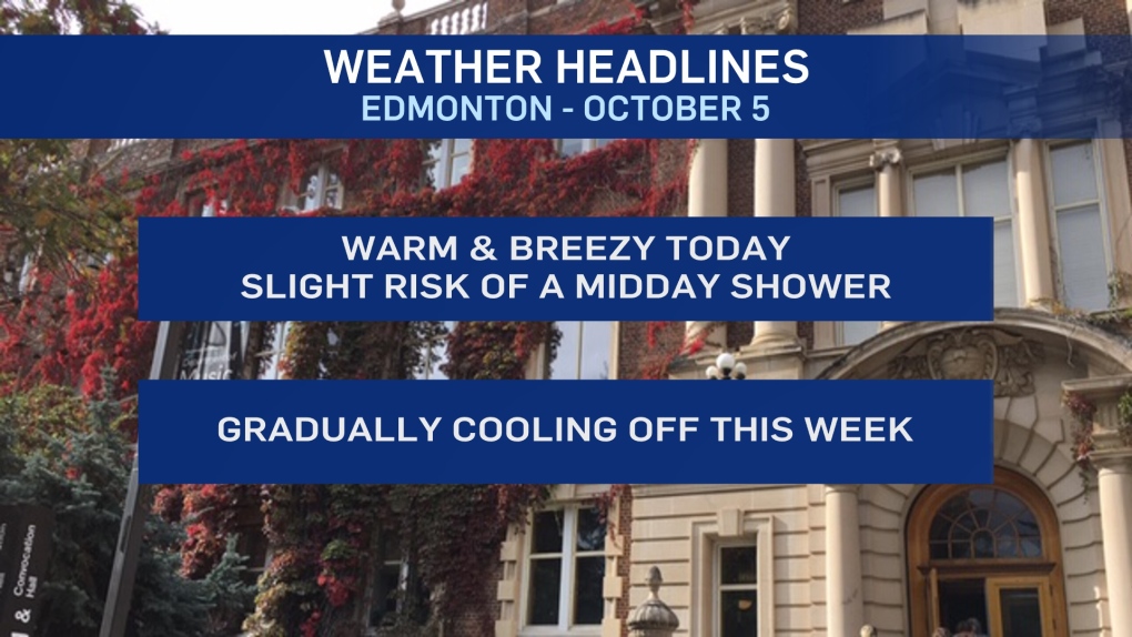
EDMONTON -- We're in for a gradual cooldown this week with more cloud than sun (on the whole).
Temperatures won't go into a freefall, though. AND...we should remain at or above average right through to mid-month.
That means daytime highs start out in the mid to upper teens today and Tuesday.
Then, we drop into the low to mid teens later this week and into the 10 to 14 degree range next week.
We're expecting to see some showers across northern Alberta today and could get some scattered showers near Edmonton midday.
After today, it looks dry across much of central and north-central AB for the next couple days.
The NE corner of the province will get some rain this afternoon and again Tuesday.
After today's chance of showers, Edmonton's next risk of precip comes early Thursday.
LONG Range Outlook:
Thanksgiving long weekend is shaping up mild/warm. Daytime highs should be in the 12 to 16 degree range.
Sat/Sun are looking dry (as of the current modelling), while Monday has a slight risk of some showers.
HERE'S THE FORECAST FOR EDMONTON:
- Today - Mix of sun & cloud. 30% chance of a shower midday.
- Wind becoming west 20 gusting to 40 this afternoon.
- High: 18
- Tonight - Mostly clear. Wind easing.
- 9pm: 13
- Tuesday - Partly cloudy. Breezy.
- Morning Low: 10
- Afternoon High: 16
- Wednesday - Mostly cloudy.
- Morning Low: 2
- Afternoon High: 14
- Thursday - Mostly cloudy. 30% chance of showers (especially early in the day)
- Morning Low: 5
- Afternoon High: 14
- Friday - Partly cloudy.
- Morning Low: 2
- Afternoon High: 13
- Saturday - Partly cloudy.
- Morning Low: 3
- Afternoon High: 15
