Josh Classen's forecast: Sunny days and heat ramping up
 An aerial image of Edmonton's Victoria Golf Course in the North Saskatchewan River valley, with downtown Edmonton and the High Level and Walterdale bridges visible in the background, taken on June 14, 2024. (Cam Wiebe / CTV News Edmonton)
Edmonton has had just five days of 25 C or hotter since the start of May.
But, we're about to start a string of at least seven or more consecutive days hitting 25 C or hotter.
In fact...there's a chance we could go 10+ days with highs above 25 C and that'll likely include four or five consecutive days with highs of 30 C or hotter.
We'll be in the mid 20s for highs today and Saturday and then the hottest stretch of days starts Sunday and continues through next week with considerable uncertainty over when it'll break.
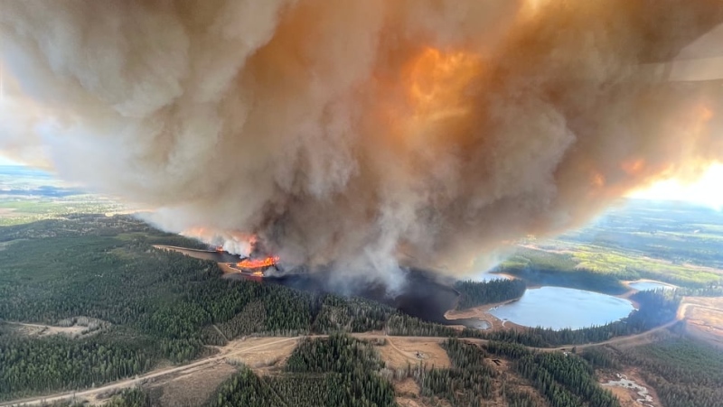
Thunderstorms are likely across northern Alberta today, increasing the risk of new fire starts from lightning.
We've had several wildfires sparked by lightning in the past few days and that will definitely be a concern again today.
There's also a chance of some showers or thunderstorms popping up in the foothills late this afternoon.
Those should stay south of Edmonton as they track ESE and mainly affect areas from around Red Deer south to Calgary.
But, I've put a slight risk of a shower or thunderstorm into the forecast for Edmonton tonight. Most (probably all) of the activity should be south of the city, but it's not a zero chance for Edmonton, particularly in the south.
After tonight's SLIGHT chance of precipitation, it's hot and dry until the incoming upper ridge collapses.
That ridge should move in over Alberta on Sunday and it's not expected to collapse until Wednesday or Thursday of next week.
(Side note: When it does finally happen, we'll be on alert for severe weather across central Alberta.)
So...we'll be watching that early next week.
It'll be a bit different story in northern Alberta where a disturbance rippling across the top of the ridge may set off some thunderstorms late Monday, especially in the northeast.
So, you'll get a chance of thunderstorms across the north today and again Saturday (especially in the northeast).
Then...potentially more thunderstorms on Monday. None of those storms looks like it'll deliver any widespread significant moisture, so the lightning risk outweighs the potential moisture benefits.
Bottom line for Edmonton: Warm (but still within a couple degrees of average) today and Saturday in Edmonton.
Heat streak starts Sunday with temperatures much closer to record highs than the average high for AT LEAST the first half of next week.
Beyond Wednesday, we'll have to wait a few more days to see how it all plays out. (There's also the outside chance that some wildfire smoke works it's way south and that would throw a wrench into the outlook.)
Here's the forecast for Edmonton and area:
Today - Sunny this morning, a few clouds this afternoon.
High: 25
Tonight - A few clouds. Slight risk of a shower or thunderstorm.
9pm: 20
Saturday - Partly cloudy.
Morning Low: 15
Afternoon High: 26
Sunday - Sunny.
Morning Low: 14
Afternoon High: 29
Monday - Sunny.
Morning Low: 16
Afternoon High: 31
Tuesday - Sunny.
Morning Low: 17
Afternoon High: 31
Wednesday - Mainly sunny. Slight risk of a late-day thunderstorm.
Morning Low: 18
Afternoon High: 32
CTVNews.ca Top Stories

Canadian family stuck in Lebanon anxiously awaits flight options amid Israeli strikes
A Canadian man who is trapped in Lebanon with his family says they are anxiously waiting for seats on a flight out of the country, as a barrage of Israeli airstrikes continues.
NDP house leader says House dysfunction will be a factor in future confidence votes
NDP House leader Peter Julian says there's more his party wants to do in Parliament before the next election, but if the current dysfunction continues it will become a factor in how they vote on a confidence measure.
Youth pleads guilty to manslaughter in death of P.E.I. teen Tyson MacDonald
A teen charged with the murder of another teen on Prince Edward Island last year has pleaded guilty to a lesser charge of manslaughter.
BREAKING Jury begins deliberations in Jacob Hoggard's sexual assault trial
The jury tasked with determining if Canadian musician Jacob Hoggard sexually assaulted a young woman in northeastern Ontario eight years ago began deliberating Friday after nearly two weeks of testimony that saw the singer and his accuser give starkly different accounts of what happened.
BREAKING Here's what the jury didn't hear in Jacob Hoggard's sexual assault trial
A northeastern Ontario jury has started deliberating in Canadian musician Jacob Hoggard's sexual assault trial, we can now tell you what they weren't allowed to hear.
Yazidi woman captured by ISIS rescued in Gaza after more than a decade in captivity
A 21-year-old Yazidi woman has been rescued from Gaza where she had been held captive by Hamas for years after being trafficked by ISIS.
Scientists looked at images from space to see how fast Antarctica is turning green. Here's what they found
Parts of icy Antarctica are turning green with plant life at an alarming rate as the region is gripped by extreme heat events, according to new research, sparking concerns about the changing landscape on this vast continent.
Suspect in shooting of Toronto cop was out on bail
A 21-year-old man who was charged with attempted murder in the shooting of a Toronto police officer this week was out on bail at the time of the alleged offence, court documents obtained by CTV News Toronto show.
A Michigan man is charged with killing and dismembering a janitor he met on the Grindr dating app
Prosecutors have charged a Michigan man with killing and dismembering a janitor he met on the dating app Grindr.


