We're into the last week of October & this typically when temperatures really start to fall off.
The 30-year average high has been around 10c for the past 10 days.
BUT...that average high drops to 5c by Friday & then holds in that range for 5-10 days.
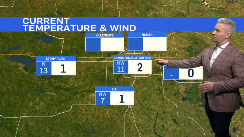
This year...the temperature pattern looks fairly flat. We dropped from double-digit highs Sat/Sun to a high of 4 on Monday.
And...we'll likely hold steady with highs in the 3 to 8 degree range for the rest of the week & the coming weekend.
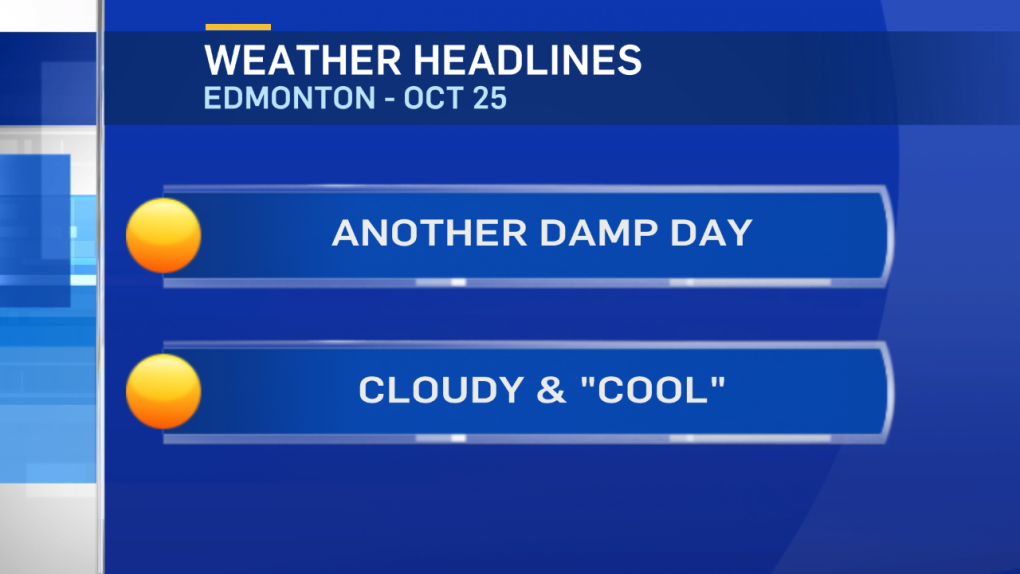
The fog blanketing much of Central Alberta this morning will lift or dissipate by midday in most areas.
We'll be left with another cloudy and, at times, drizzly day in the Capital Region & surrounding areas.
Further north, wet snow in the Peace Country this morning will continue this afternoon and tonight.
2-8cm of snow is expected in that area with localized pockets getting slightly more.
LONG RANGE:
A week out from Halloween and we're still not expecting a big snowfall in the Capital Region between now & next Monday.
GFS model is projecting a chance of flurries in Central Alberta ON Halloween. GEM model wants to keep the area sunny.
We'll see how that shapes up over the next few days.
Here's the Edmonton forecast:
Today - Fog this morning. Mostly cloudy with a 60% chance of showers or drizzle this afternoon.
High: 6
Tonight - 60% chance of showers or drizzle this evening.
Evening: 3
Wednesday - Mix of sun & cloud.
Morning Low: -1
Afternoon High: 5
Thursday - Mix of sun & cloud. 30% chance of an afternoon shower.
Morning Low: -1
Afternoon High: 6
Friday - Mostly cloudy. 30% chance of a shower.
Morning Low: -1
Afternoon High: 5
Saturday - Mix of sun & cloud.
Morning Low: -1
Afternoon High: 6
Sunday - Partly cloudy.
Morning Low: -3
Afternoon High: 4
Advertisement
FOGGY MORNING...CLOUDY AFTERNOON - Oct 25, 2016
CTV Edmonton
Published Tuesday, October 25, 2016 9:23AM MDT
Published Tuesday, October 25, 2016 9:23AM MDT
