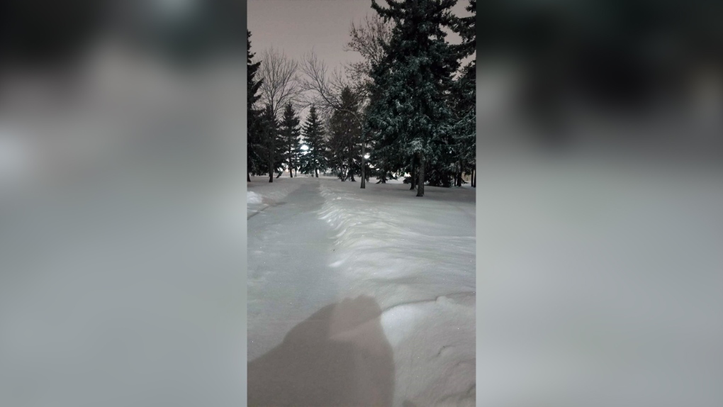
EDMONTON -- Roughly 5-10 cm of snow hit the Edmonton region overnight (drifts are deeper in some spots).
Snow will taper off from west to east across the province today with the Edmonton region seeing an end to the snow by this afternoon.
That means more snow through this morning and there could be a further 2-4 cm of accumulation by midday.
Eastern and NE Alberta will continue to get snow through to this evening and blowing snow will likely be an issue for highway travel in those areas, especially later this morning.
After today's snow, arctic air sinks in from the north. Once it arrives...it's staying for a while.
Temperatures will be near -15 in Edmonton much of today.
We'll have highs in the -15 to -20 range Thu/Fri.
LONG Range outlook still pushes the coldest air into the region Sun/Mon/Tue with highs in the mid -20s.
Here's the forecast for Edmonton:
- Today – Snow tapering off midday. Cloudy with sunny breaks this afternoon.
- Noon: -14
- 3pm: -14
- 6pm: -16
- Tonight - Mostly cloudy.
- 9pm: -17
- Thursday - Mostly cloudy in the morning. Clearing in the afternoon.
- Morning Low: -19
- Afternoon High: -18
- Friday - Mix of sun & cloud.
- Morning Low: -28
- Afternoon High: -15
- Saturday - Mostly cloudy. 40% chance of light snow.
- Morning Low: -22
- Afternoon High: -20
- Sunday - Mostly cloudy.
- Morning Low: -28
- Afternoon High: -25
- Monday - Mix of sun & cloud.
- Morning Low: -32
- Afternoon High: -27


