Edmonton weather for July 16: Temperatures return to seasonal as smoke comes in and out

We're into a "cooler" few days with daytime highs in the low to mid 20s in Edmonton today, Saturday and probably Sunday as well.
Part of that is the atmospheric setup...part of that cooling is thanks to the smoke.
Air quality was a real issue on Thursday in Edmonton. We were anticipating a bit of clearing overnight and this morning.
That HAS happened and the AQHI (Air Quality Health Index) is on the LOW risk end of the scale this morning.
That will probably climb to the MODERATE risk range later today. But, the smoke shouldn't be as bad as yesterday.
Then, we're expecting to see the mid-level wind swing around to a more easterly direction this weekend.
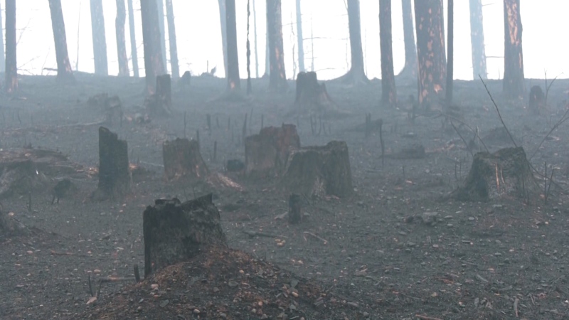
Normally...you'd think that's good news. BUT...there are a lot of wildfires in northern Saskatchewan right now.
So, instead of getting BC wildfire smoke...we're expecting SK smoke to blow into the eastern (especially NE) half of the province.
For Edmonton and area, today might be our least smoky day until early next week as conditions will probably get worse this weekend.
I'm thinking the AQHI will be in the HIGH risk range (maybe even pushing the VERY HIGH range at times).
Some rain would help. I've been reading differing opinions on how MUCH clearing you can get from rain.
Bottom line seems to be - it doesn't completely remove the smoke from the air, but does help.
AND...there actually IS a good chance of precipitation in and around Edmonton tonight.
Parts of the metro region had some showers Thursday night (most areas got missed).
Today, we'll see some storms bubble up in western AB and those will track ENE through the evening.
The most likely ETA for showers/storms in the Edmonton region is late this evening and overnight (possibly spilling into early Saturday morning).
There is a risk some of the storms that develop later today will turn severe. So, keep an eye out for any alerts if you're in areas from Edmonton south to Red Deer and from Grande Cache south to Airdrie.
The weekend brings some rain to northern Alberta on Saturday. The best chance for some steadier precip is from Peace River east to Fort McMurray.
Temperatures in most of central and northern AB will be in the low 20s Saturday and low to mid 20s Sunday.
Here's the forecast for Edmonton:
Today - Partly cloudy and a bit hazy.
AQHI in the low to moderate range.
- High: 25
Tonight - Mostly cloudy. 70% chance of showers and/or thunderstorms late in the evening and overnight.
- 9PM: 21
Saturday - 40% chance of showers early in the morning. Mix of sun & cloud in the afternoon.
30% chance of a scattered shower or thunderstorm late in the day.
Smoke increasing through the day - AQHI in the moderate to high range
- Morning Low: 15
- Afternoon High: 23
Sunday - Mix of sun & cloud. Thick smoky haze - AQHI likely in the high range.
- Morning Low: 15
- Afternoon High: 26
Monday - Partly cloudy.
- Morning Low: 17
- Afternoon High: 29
Tuesday - Mostly cloudy. 40% chance of showers or light rain.
- Morning Low: 18
- Afternoon High: 25
Wednesday - Partly cloudy. 30% chance of evening thunderstorm.
- Morning Low: 16
- Afternoon High: 26
CTVNews.ca Top Stories

'A beautiful soul': Funeral held for baby boy killed in wrong-way crash on Highway 401
A funeral was held on Wednesday for a three-month-old boy who died after being involved in a wrong-way crash on Highway 401 in Whitby last week.
'Sophisticated' cyberattacks detected on B.C. government networks, premier says
There has been a "sophisticated" cybersecurity breach detected on B.C. government networks, Premier David Eby confirmed Wednesday evening.
Police handcuff man trying to enter Drake's Toronto mansion
Toronto police say a man was taken into custody outside Drake's Bridle Path mansion Wednesday afternoon after he tried to gain access to the residence.
Biden says he will stop sending bombs and artillery shells to Israel if they launch major invasion of Rafah
U.S. President Joe Biden said for the first time Wednesday he would halt shipments of American weapons to Israel, which he acknowledged have been used to kill civilians in Gaza, if Prime Minister Benjamin Netanyahu orders a major invasion of the city of Rafah.
Canucks claw out 5-4 comeback win over Oilers in Game 1
Dakota Joshua had a goal and two assists and the Vancouver Canucks scored three third-period goals to claw out a 5-4 comeback victory over the Edmonton Oilers in Game 1 of their second-round playoff series Wednesday.
Nijjar murder suspect says he had Canadian study permit in immigration firm's video
One of the Indian nationals accused of murdering British Columbia Sikh activist Hardeep Singh Nijjar says in a social media video that he received a Canadian study permit with the help of an Indian immigration consultancy.
Pfizer agrees to settle more than 10K lawsuits over Zantac cancer risk: Bloomberg News
Pfizer has agreed to settle more than 10,000 lawsuits about cancer risks related to the now discontinued heartburn drug Zantac, Bloomberg News reported on Wednesday, citing people familiar with the deal.
Quebec premier defends new museum on Quebecois nation after Indigenous criticism
Quebec Premier Francois Legault is defending his comments about a new history museum after he was accused by a prominent First Nations group of trying to erase their history.
U.S. presidential candidate RFK Jr. had a brain worm, has recovered, campaign says
Independent U.S. presidential candidate Robert F. Kennedy Jr. had a parasite in his brain more than a decade ago, but has fully recovered, his campaign said, after the New York Times reported about the ailment.


