Josh Classen's forecast: Cold air returns and stays for the weekend
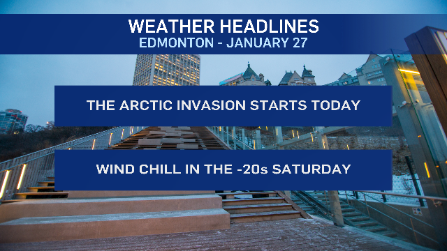
The January warm stretch is over and a new cold spell starts today.
Temperatures will be tumbling through the day across the province. So, it'll be colder this afternoon than it is this morning.
In Edmonton, we'll drop to the -10 C range by this afternoon. But, we'll drop even further and end up in the -20 C range by Saturday morning.
Daytime highs both Saturday and Sunday are expected to be in the minus teens.
Wind chill becomes a factor again today. It won't be as gusty as Thursday, but we'll have 10-20 km/h wind through much of the day in Edmonton.
That means wind chills near -10 C this morning and wind chills in the minus teens this afternoon.
The wind gets stronger again Saturday (gusty midday and in the afternoon). Wind chills will likely be in the -30 C range Saturday morning and around -25 C in the afternoon.
Sunday's shaping up to be less windy, but still cold.
No significant snowfall expected in the Edmonton region. We'll see some occasional flurries or pockets of light snow in the area today and early this evening.
The city and most surrounding areas probably end up with 1 to 3 cm by late tonight.
There's some uncertainty with the longer-range temperature outlook.
I think we're probably out of the coldest air by Monday as some milder air presses in from the west and shoves the arctic air eastwards.
But, that battle between the warmer and colder airmasses could honestly go either way.
The latest runs of the Canadian models are running cooler than yesterday for Monday/Tuesday, but showing a big warm-up Wednesday followed by a return to colder temperatures Thursday/Friday.
The GFS is much warmer for Monday/Tuesday...but doesn't indicate a big Wednesday warm-up OR a Thursday/Friday cooldown.
In fact...there's about 15 degrees difference in the daytime high output between the GDPS and the GFS for next Friday.
Bottom line: Don't take next week's forecast to the bank just yet. We'll see some cold conditions this weekend and then some moderation to temperatures next week.
Whether that means a couple days near 0 C, -5 C, or -10 C (and exactly which days are the mildest) remains to be seen.
Here's the forecast for Edmonton and area:
Today - Cloudy with some occasional flurries or pockets of light snow.
Wind: NE 20 this morning and N 10-15 km/h this afternoon.
Wind chill near -10 this morning and in the minus teens this afternoon.
Temperature falling through the day.
Noon: -6 (wind chill near -13)
5pm: -10 (wind chill near -17)
Tonight - Cloudy with a 40% chance of flurries early in the evening. Some clearing overnight.
9pm: -13 (wind chill near -20)
Saturday - Mix of sun & cloud. Breezy.
Wind: 10-20 km/h in the morning and then 20 gusting to 40 km/h midday & through the afternoon.
Morning Low: -20 (wind chill near -30)
Afternoon High: -15 (wind chill near -24)
Sunday - Partly cloudy.
Morning Low: -20
Afternoon High: -14
Monday - Mostly cloudy.
Morning Low: -19
Afternoon High: -8
Tuesday - Cloudy. 30% chance of flurries.
Morning Low: -15
Afternoon High: -10
Wednesday - Cloudy with a 30% chance of flurries.
Morning Low: -14
Afternoon High: -7
CTVNews.ca Top Stories
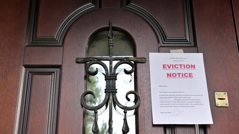
B.C. tenants evicted for landlord's use after refusing large rent increase to take over neighbouring suite
Ashley Dickey and her mother rented part of the same Coquitlam duplex in three different decades under three different landlords.
Mountain guide dies after falling into a crevasse in Banff National Park
A man who fell into a crevasse while leading a backcountry ski group deep in the Canadian Rockies has died.
Expert warns of food consumption habits amid rising prices
A new survey by Dalhousie University's Agri-Food Analytics Lab asked Canadians about their food consumption habits amid rising prices.
MPP Sarah Jama asked to leave Ontario legislature for wearing keffiyeh
MPP Sarah Jama was asked to leave the Legislative Assembly of Ontario by House Speaker Ted Arnott on Thursday for wearing a keffiyeh, a garment which has been banned at Queen’s Park.
Charlie Woods, son of Tiger, shoots 81 in U.S. Open qualifier
Charlie Woods failed to advance in a U.S. Open local qualifying event Thursday, shooting a 9-over 81 at Legacy Golf & Tennis Club.
Ex-tabloid publisher testifies he scooped up possibly damaging tales to shield his old friend Trump
As Donald Trump was running for president in 2016, his old friend at the National Enquirer was scooping up potentially damaging stories about the candidate and paying out tens of thousands of dollars to keep them from the public eye.
Here's why provinces aren't following Saskatchewan's lead on the carbon tax home heating fight
After Prime Minister Justin Trudeau said the federal government would still send Canada Carbon Rebate cheques to Saskatchewan residents, despite Saskatchewan Premier Scott Moe's decision to stop collecting the carbon tax on natural gas or home heating, questions were raised about whether other provinces would follow suit. CTV News reached out across the country and here's what we found out.
Montreal actress calls Weinstein ruling 'discouraging' but not surprising
A Montreal actress, who has previously detailed incidents she had with disgraced Hollywood producer Harvey Weinstein, says a New York Court of Appeals decision overturning his 2020 rape conviction is 'discouraging' but not surprising.
Caleb Williams, Jayden Daniels and Drake Maye make it four NFL drafts with quarterbacks going 1-3
Caleb Williams is heading to the Windy City, aiming to become the franchise quarterback Chicago has sought for decades.


