Josh Classen: Warm, melty and an evening shower risk
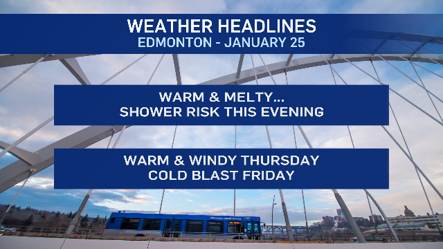
The warm, sloppy conditions continue for another two days ahead of some cold, arctic air pushing in Friday.
The long-range outlook is actually trending milder than the past few days. But, we'll get to that in a moment.
Today: Cloudy with a few sunny breaks and a high near 5 C this afternoon.
We'll likely see some precipitation (rain and/or mixed precipitation) in northwest Alberta this afternoon and areas near Edmonton could see a shower early this evening.
It doesn't look TOO heavy or long-lasting. But...there is another chance of a shower overnight in the Edmonton area.
Temperatures will be right around 0 C or slightly above. So, it probably won't be freezing immediately on contact with the ground.
BUT...sidewalks, sidestreets, parking lots etc could get slippery and roads could be a bit slick Thursday morning.
Temperatures look warm again for Thursday with a high in the 5 C range. BUT...it probably won't FEEL as warm as today because of the wind.
We're expecting 20-30 km/h wind with gusts in the 50-60 km/h range for much of the day tomorrow.
Friday's likely breezy as well, but the big story Friday is the arrival of the colder air.
Temperatures will be falling through the day. Edmonton should be around 0 C early in the morning and then closer to -10 C in the afternoon (feeling in the minus teens with wind chill).
Snowfall looks to be somewhere in the 2 to 8 cm range.
The weekend has morning temperatures near -20 C and afternoon highs near -15 C.
BUT...the latest model runs for both the GEM and the GFS are pushing some milder air back in for Monday, then turning colder (but not AS cold as we had earlier anticipated) for the rest of the week.
I've gone with -10 C on Monday (the models are a bit closer to -5 C, but I'm hesitant to bite just yet).
And...for the rest of next week we WERE thinking highs in the -15 C to -20 C range. But, it's looking more like -10 C to -15 C range for highs.
That's still cold, but definitely not a deep freeze.
We'll see how it develops...but...as of this morning, the outlook for next week is trending milder than what we were thinking yesterday and Monday.
Here's the forecast for Edmonton and area:
Today - Cloudy with a few sunny breaks.
High: 5
Tonight - Mostly cloudy. 30% chance of showers early in the evening.
30% chance of a shower after midnight.
9pm: 2
Thursday - Mix of sun & cloud. Windy.
W 20-30 km/h with gusts in the 50-60 km/h range.
Morning Low: 0
Afternoon High: 5
Friday - Mostly cloudy. 60% chance of snow.
Temperature falling through the day.
Wind: N 15-20 with gusts in the 30-40 km/h range.
Morning: -2
Afternoon: -10
Saturday - Mostly cloudy. 30% chance of flurries.
Morning Low: -18
Afternoon High: -15
Sunday - Mix of sun & cloud.
Morning Low: -20
Afternoon High: -16
Monday - Mix of sun & cloud.
Morning Low: -20
Afternoon High: -10
CTVNews.ca Top Stories

'A beautiful soul': Funeral held for baby boy killed in wrong-way crash on Highway 401
A funeral was held on Wednesday for a three-month-old boy who died after being involved in a wrong-way crash on Highway 401 in Whitby last week.
'Sophisticated' cyberattacks detected on B.C. government networks, premier says
There has been a "sophisticated" cybersecurity breach detected on B.C. government networks, Premier David Eby confirmed Wednesday evening.
Police handcuff man trying to enter Drake's Toronto mansion
Toronto police say a man was taken into custody outside Drake's Bridle Path mansion Wednesday afternoon after he tried to gain access to the residence.
Biden says he will stop sending bombs and artillery shells to Israel if they launch major invasion of Rafah
U.S. President Joe Biden said for the first time Wednesday he would halt shipments of American weapons to Israel, which he acknowledged have been used to kill civilians in Gaza, if Prime Minister Benjamin Netanyahu orders a major invasion of the city of Rafah.
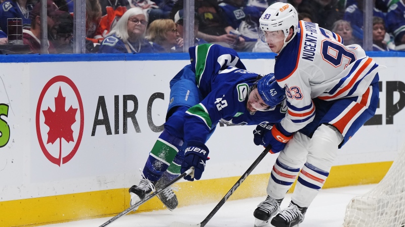
Canucks beat Oilers 5-4 in comeback to take Game 1
The Vancouver Canucks won the first game of their NHL playoffs series with the Edmonton Oilers 5-4 on Wednesday night coming back from a three-goal deficit.
Nijjar murder suspect says he had Canadian study permit in immigration firm's video
One of the Indian nationals accused of murdering British Columbia Sikh activist Hardeep Singh Nijjar says in a social media video that he received a Canadian study permit with the help of an Indian immigration consultancy.
Pfizer agrees to settle more than 10K lawsuits over Zantac cancer risk: Bloomberg News
Pfizer has agreed to settle more than 10,000 lawsuits about cancer risks related to the now discontinued heartburn drug Zantac, Bloomberg News reported on Wednesday, citing people familiar with the deal.
Quebec premier defends new museum on Quebecois nation after Indigenous criticism
Quebec Premier Francois Legault is defending his comments about a new history museum after he was accused by a prominent First Nations group of trying to erase their history.
U.S. presidential candidate RFK Jr. had a brain worm, has recovered, campaign says
Independent U.S. presidential candidate Robert F. Kennedy Jr. had a parasite in his brain more than a decade ago, but has fully recovered, his campaign said, after the New York Times reported about the ailment.


