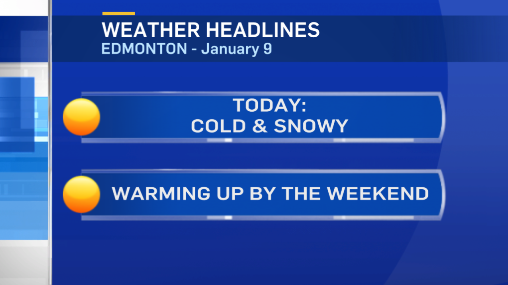
Cold air continues to linger over much of Alberta today & Tuesday.
There's a bit of a break coming Wednesday. But, it's short-lived.
The real warming trend won't start until the weekend (in the Edmonton area).
Snow falling in the Capital Region this morning should taper off this afternoon or early this evening.
Total snowfall will be in the 2-4cm range.
Elsewhere around the province: Snow continues through the afternoon in Eastern Alberta.
W & NW sections of the province will get some light flurries this morning & then a break this afternoon.
Light snow should continue along the QE2 from Edmonton to Red Deer into this afternoon with drifting & blowing snow in spots later this morning.
Wind chill isn't much of a factor in the Edmonton region this morning (wind is below 10km/h).
However, we're expecting the wind to pick up to around 20km/h this afternoon.
So...our afternoon high of -18 is actually going to feel a bit more like the -25 to -30 range.
Another cold day in the Capital Region Tuesday. We get a 1-day warm-up on Wednesday in Edmonton.
THEN...cooler again for Thu/Fri.
The arctic air gets shoved out this weekend & daytime highs climb back to around or above zero Sat/Sun & next week.
Here's the Edmonton forecast:
Today - Cloudy with periods of light snow this morning. Snow tapering off this afternoon.
Afternoon: -18
Tonight - Mostly cloudy. 30% chance of flurries this evening.
Evening: -12
Tuesday - Mix of sun & cloud.
Morning Low: -26
Afternoon High: -21
Wednesday - 30% chance of flurries in the morning. Partly cloudy in the afternoon.
Morning Low: -26
Afternoon High: -9
Thursday - Partly cloudy.
Morning Low: -21
Afternoon High: -18
Friday - Mix of sun & cloud.
Morning Low: -22
Afternoon High: -14
Saturday - Mix of sun & cloud.
Morning Low: -18
Afternoon High: -3
Advertisement
SNOWY & COLD - JAN 9
CTV Edmonton
Published Monday, January 9, 2017 7:41AM MST
Published Monday, January 9, 2017 7:41AM MST
