Warm air moved in over Alberta on the weekend.
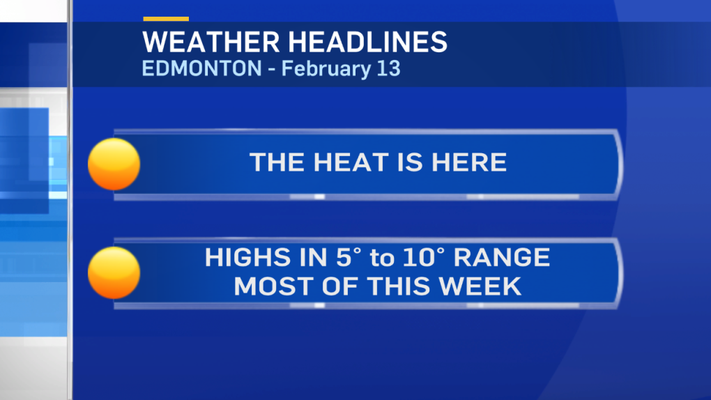
The entire province was above 0 on Sunday and we'll likely get some record-setting temperatures over the next few days.
The record highs for Edmonton are:
Monday, Feb 13: 11.1 - 1943
Tuesday, Feb 14: 10.6 - 1907
Wednesday, Feb 15: 13.9 - 1916
We have a shot at the Valentine's Day record tomorrow. But, today's and Wednesday's record highs look to be safe.
The bubble of warm air (Upper Ridge) will collapse on Thursday and colder air will drop in at the upper levels of the atmosphere.
It'll take a day for that change to become noticeable at the surface. So...we should still be up around 10 degrees for a high Thursday.
But, a cooling trend will begin on Friday and the Capital Region will be back to afternoon temperatures near 0 this coming weekend.
LONG Range outlook:
Cooler air drops in for next week. Daytime highs near 0 and morning lows in the -5 to -10 range.
That'll still leave Edmonton slightly warmer than normal. But...not AS warm as THIS week.
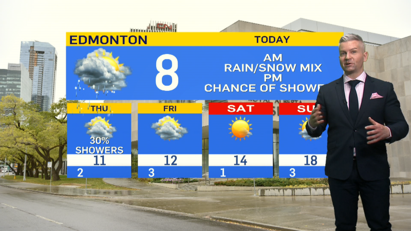
Here's the Edmonton forecast:
Today - Mix of sun and cloud.
High: 7
Tonight - Partly cloudy.
Evening: 2
Tuesday - Mainly sunny.
Morning Low: -2
Afternoon High: 9
Wednesday - Partly cloudy.
Morning Low: -2
Afternoon High: 10
Thursday - Mix of sun & cloud.
Morning Low: -3
Afternoon High: 10
Friday - Mix of sun & cloud.
Morning Low: -3
Afternoon High: 5
Saturday - Increasing cloud. 30% chance of snow developing in the evening.
Morning Low: -4
Afternoon High: 2
Advertisement
THE MELT IS BACK - Feb 13
CTV Edmonton
Published Monday, February 13, 2017 7:11AM MST
Published Monday, February 13, 2017 7:11AM MST
