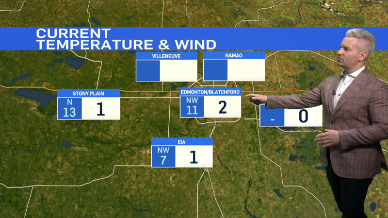
It's been a colder-than-anticipated start to the day, but milder air IS still expected to slide in for this afternoon.
An upper ridge will ripple it's way across the province through the day today.
Along the leading edge of that ridge, we've had some flurries in NW Alta early this morning.
Most of those flurries should stay north of Edmonton today.
However, there IS a chance of some flurries tonight & again tomorrow.
No significant accumulation of snow is expected, but we're in for more cloud & occasional light flurries over the next 24-48 hours.
A lot of people have been asking if we've seen fewer sunny day than usual.
I don't have the numbers on that...but it sure seems like it! And...looking ahead to the next 5-7 days, there's a lot more cloud than sun.
We'll see some sunny breaks here & there. But, no "full days of sun" in the forecast.
Average daytime high for the next 5 days is -5.
We'll be pretty close to that through the weekend. The long range outlook has us back in the minus teens by Wednesday of next week.
Edmonton Forecast looks like this:
Today - Increasing cloud. 30% chance of flurries.
High: -6
Tonight - Cloudy w/ a 30% chance of flurries.
-10
Friday - Mostly cloudy. 30% chance of flurries.
High: -4
Saturday - Mix of sun & cloud.
High: -7
Sunday - Mostly cloudy.
High: -7
Monday - Mostly cloudy. 30% chance of flurries.
High: -8
Tuesday - Mostly cloudy.
High: -12
