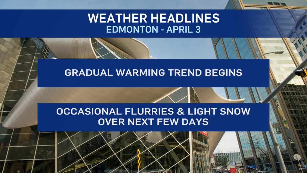
EDMONTON -- The coldest days look to be behind us. Slowly, temperatures will climb in the coming days.
Highs near -5 this weekend. Close to zero Monday. And then...Tue/Wed/Thu should all have daytime highs above zero.
Beyond that, it may cool off a bit for Easter weekend. But it won't be as cold as the past few days.
Precipitation outlook:
There are some flurries in the forecast for the Edmonton area and elsewhere in central Alberta.
A couple spots will get 2-4 cm accumulation. Most regions (including Edmonton) will get between a dusting and 2 cm.
Saturday's risk of flurries looks equally as insignificant.
Sunday has the potential to drop 2-4 cm on the Edmonton region and as that tapers off, we may get some lingering flurries Monday.
So... no repeat of the early-week dump of heavy snow.
But, some off and on flurries/light snow over the next few days mixed with occasional breaks of sun.
HERE'S THE FORECAST FOR EDMONTON:
- Today – Cloudy with periods of flurries & light snow.
- A dusting to 2 cm likely. Wind 10-15 km/h.
- High: -7
- Tonight - Mostly cloudy. 30% chance of a few flurries.
- 9pm: -9
- Saturday - Cloudy with a few sunny breaks.
- 40% chance of flurries (especially in the morning)
- Morning Low: -13
- Afternoon High: -5
- Sunday - Mostly cloudy. 60% chance of flurries or snow.
- 2-4 cm possible.
- Morning Low: -11
- Afternoon High: -4
- Monday - Mostly cloudy. 40% chance of a few flurries.
- Morning Low: -10
- Afternoon High: -2
- Tuesday - Partly cloudy.
- Morning Low: -7
- Afternoon High: 3
- Wednesday - Mix of sun & cloud.
- Morning Low: -8
- Afternoon High: 4
