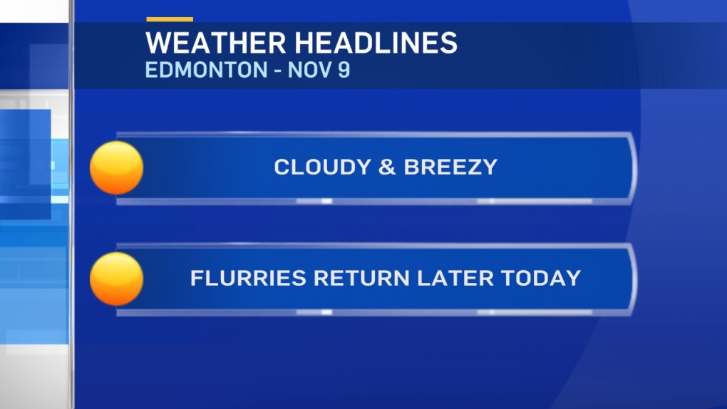
Get set for some more light flurries later today/tonight.
Again, this doesn't look to be heavy snowfall.
But...areas from Edmonton south will likely have a bit of fresh snow on the ground Friday morning.
Wind will also become a factor this afternoon.
Wind chill will be making it FEEL more like the -10 to -15 range in Edmonton Metro.
Actual temperature should get to the -5 range.
Further north, cooler conditions will prevail right through the weekend.
Western and Southern Alberta will get near or above zero this weekend though.
The question for Edmonton is: How far north and east will that warm air extend.
At this point - I'm expecting highs will be in the 0 to -5 range for Fri/Sat/Sun/Mon.
Monday will likely be the warmest day and has the best shot at hitting 0.
Cooler air starts to drop back in by Tue/Wed.
Here's the Edmonton forecast:
Today - Mostly cloudy. A few flurries this afternoon.
High: -5
Evening - Cloudy with a few flurries (especially early this evening)
9pm: -9
Friday - Cloudy with sunny breaks.
Morning Low: -10
Afternoon High: -5
Saturday - Mix of sun & cloud.
Morning Low: -13
Afternoon High: -3
Sunday - Cloudy with sunny breaks.
Morning Low: -13
Afternoon High: -4
Monday - Mix of sun & cloud.
Morning Low: -11
Afternoon High: -2
Tuesday - Mostly cloudy. 30% chance of late-day flurries.
Morning Low: -12
Afternoon High: -5
