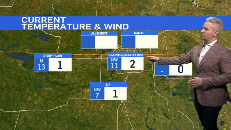
Cooler air rolled in Thursday.
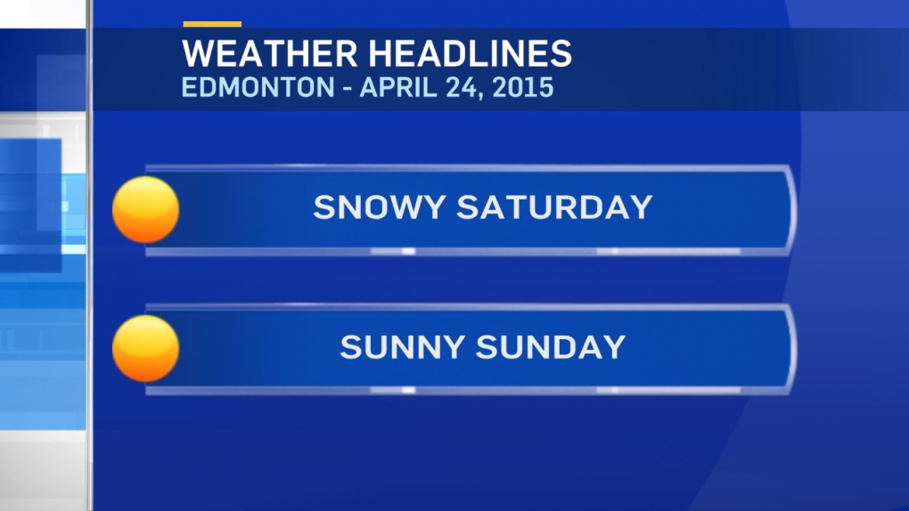
Snow starts late tonight in Edmonton.
We had 3 straight days in the 20s earlier this week & now we're talking snow.
Gotta love spring in Alberta.
Snowfall WARNINGs have been issued for parts of W Alberta.
You can find the latest info on those warnings here: www.weather.gc.ca/warnings
Most of that warning zone will get 10-15cm.
But, the hardest-hit regions could get 15-20cm and that "hardest-hit area" may be right around Hwy 16 between Jasper & Edson.
The Capital Region is cloudy & cool today with most (probably all) of the precipitation holding off until tonight.
It'll likely start as rain late this evening & then quickly flip over to snow.
The exact location of the heavier bands of snow is still a bit uncertain, but there'll be some heavier pockets near Edmonton.
Don't be surprised if we get 5 or more cm of snow stacking up somewhere between Rimbey/Camrose & Morinville/Gibbons.
A lot of the snow will intially melt on contact & that always makes forecasting accumulated snow depth a challenge at this time of year.
But, plan for a cool & snowy Saturday with a chance of that precipitation moving east of Edmonton later in the afternoon.
Conditions improve Sunday, so...any snow that DOES stick around on the ground won't last long.
Daytime highs jump back into the 15-20 degree range by early next week.
Here's the Edmonton forecast:
Today - Mostly cloudy. 40% chance of a scattered shower.
Wind becoming NE 20-30 km/h this afternoon.
High: 9
Tonight - Cloudy with rain turning to snow overnight.
Wind: NE 20-30 with gusts to 50km/h
Low: 0
Saturday - Mostly cloudy with periods of wet snow in the morning, tapering off in the afternoon.
High: 5
Sunday - Mainly sunny.
Morning Low: 0
Afternoon High: 8
Monday - Partly cloudy.
Morning Low: 1
Afternoon High: 13
Tuesday - Mainly sunny.
Morning Low: 6
Afternoon High: 20
Wednesday - Partly cloudy.
Morning Low: 7
Afternoon High: 20
Advertisement
APRIL SNOW - April 24, 2015
CTV Edmonton
Published Friday, April 24, 2015 8:28AM MDT
Published Friday, April 24, 2015 8:28AM MDT
