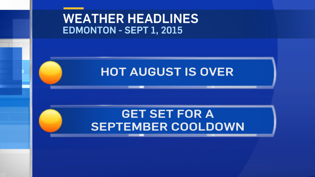
On the meteorological calendar, Summer is June/July/Aug and autumn (Sept/Oct/Nov) starts today.
This year, the weather is actually lining up pretty close to that.
August 2015 had an average high of 24.5 degrees. That's the hottest August since 1998.
Buy, temperatures are taking a turn for the cooler as we start the new month.
Highs will be in the 16-21 range today & tomorrow.
Then...as an Upper Low drops in, temperatures drop to the 11-16 range for Thu/Fri/Sat.
We're also in for some September rain in parts of the province.
Parts of NE Alberta (especially around Fort McMurray) could get 10-30mm over the next day or two.
The Peace Country should get 5-15mm of rain today & tomorrow.
In the Capital Region and areas to the south of the city, it doesn't look like we'll get any heavy/steady rain.
But, showers (and maybe even 1 or 2 thunderstorms) are possible.
The most likely times are:
Late-evening/overnight tonight
Mid-afternoon tomorrow.
Late Wednesday night.
For MOST of the area...MOST of today & tomorrow are dry.
Looking ahead to the Long Weekend:
Daytime highs should be in the 15-20 range.
GFS has rain Saturday. GEM has rain Sunday. (for Edmonton) At this point, I'm not convinced either day will be all that wet.
But...we'll watch it and keep you updated throughout the week.
Here's the Edmonton forecast:
Today - Mix of sun & cloud. 30% chance of a shower.
Wind: W 20 gusting to 40 this afternoon
High: 20
Tonight - Mostly cloudy. 30% chance of a shower late this evening or overnight.
Low: 10
Wednesday - Mix of sun & cloud. 30% chance of a shower or thunderstorm in the afternoon.
High: 18
Wednesday night - Cloudy with a 60% chance of showers.
Thursday - Partly cloudy.
Morning Low: 6
Afternoon High: 14
Friday - Partly cloudy.
Morning Low: 4
Afternoon High: 13
Saturday - Partly cloudy. 30% chance of a shower.
Morning Low: 6
Afternoon High: 16
Sunday - Mix of sun & cloud.
Morning Low: 5
Afternoon High: 17
Advertisement
WELCOME TO METEOROLOGICAL FALL - SEPT 1, 2015
CTV Edmonton
Published Tuesday, September 1, 2015 8:18AM MDT
Published Tuesday, September 1, 2015 8:18AM MDT
