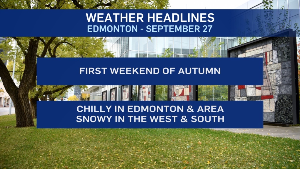
Temperatures dipped near zero in the Edmonton region early this morning.
Some areas might've had a bit of patchy frost. But, it looks like most of the region was spared.
That probably won't be the case for TOO many more mornings.
Lows are forecast to drop into the -2 to -5 range Sat/Sun/Mon/Tue.
Afternoon Highs will be in the 5 degree range, which puts us about 10 degrees cooler than average for this first weekend of Autumn.
BUT...at least we're not expecting any snow in the Edmonton area.
Outside of a VERY slim risk...it should be a dry weekend with some sunny breaks as an Arctic High drops in over the northern half of the province.
That system WILL help produce some snow in the south and west thanks to an upsloping easterly wind though.
Most of the accumulating snow will be in the foothills, mountains and the SW corner of Alberta.
Total ACCUMULATION remains uncertain as much of the snowfall will melt.
However, significant accumulations (10cm or more) is possible in some areas.
The snow spreads east across southern Alberta through the weekend.
In Edmonton, the cool temperatures persist into early next week and then we rebound.
Highs should be back in to the 10 to 15 degree range by Tue or Wed.
Here's the forecast for Edmonton:
- Today - Cloudy with a few sunny breaks.
- Wind: NNE 15-20 km/h
- High: 5
- Evening - Mostly cloudy.
- 9pm: 1
- Saturday - Cloudy with a few sunny breaks.
- Morning Low: -2
- Afternoon High: 5
- Sunday - Mix of sun & cloud.
- Morning Low: -4
- Afternoon High: 6
- Monday - Partly cloudy.
- Morning Low: -3
- Afternoon High: 8
- Tuesday - Mainly sunny.
- Morning Low: -2
- Afternoon High: 11
- Wednesday - Mainy sunny.
- Morning Low: -1
- Afternoon High: 13
