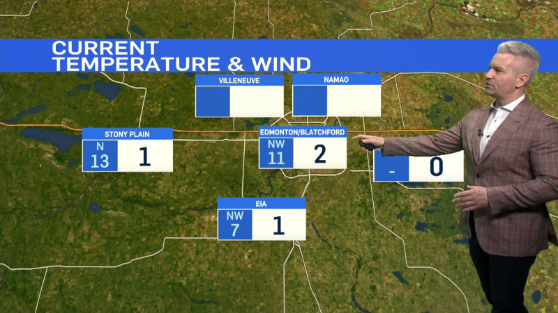
EDMONTON -- The cooldown has begun with temperatures sliding into the -3 to -6 range across northern Alberta and back to around zero in Edmonton.
We haven't had a day where temperatures stayed below zero in Edmonton since Nov. 29.
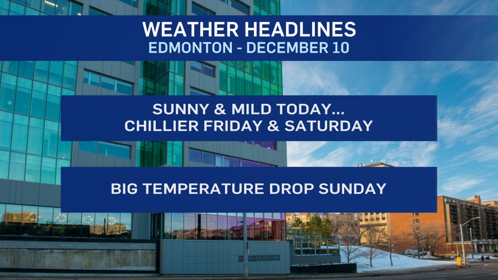
But after today...we may not get back above zero for the next 10 days (or more).
So, sunny and mild today (but nowhere near as warm as the past 9 days).
Clouds roll in overnight and we'll be in the -3 to -6 range through the afternoon under cloudy skies Friday.
A low pressure system pushes across northern Alberta on Saturday with some snow for parts of the north.
Behind that system, a strong northerly wind develops and we'll get a MAJOR drop in temperature.
Intially, it looked like highs would stay in the -5 to -10 range for Sun/Mon/Tue.
But...it's starting to appear more likely that some arctic air will drop further than we had expected.
The latest outlook has daytime highs POTENTIALLY as cold as the -15 to -20 range.
For now, I'm keeping the forecast a bit milder than that with HIGHS in the -10 to -15 range Sun/Mon/Tue.
Still no sign of significant (5cm +) snowfall for the Edmonton region. Just a risk of some scattered flurries on a couple of occasions.
HERE'S THE FORECAST FOR EDMONTON:
- Today - Partly cloudy this morning. Sunny with a few clouds this afternoon.
- High: 0
- Tonight - Increasing cloud overnight.
- 9pm: -5
- Friday - Mostly cloudy.
- Morning Low: -10
- Afternoon High: -3
- Saturday - Mix of sun & cloud.
- Morning Low: -12
- Afternoon High: -6
- Sunday - Mix of sun & cloud.
- Morning Low: -18
- Afternoon High: -14
- Monday - Mostly cloudy. 30% chance of flurries.
- Morning Low: -16
- Afternoon High: -12
- Tuesday - Mostly cloudy. 30% chance of flurries or light snow.
- Morning Low: -16
- Afternoon High: -12
