EDMONTON -- An arctic front lying across northern Alberta will likely produce a bit of snow in the the Peace River region today.
But, it's tonight that could bring a few centimetres of snow to areas from Peace River/Grande Prairie east through Slave Lake and on towards Lac La Biche/Bonnyville.
For the most part, that precipitation is expected to stay north of the Edmonton region tonight.
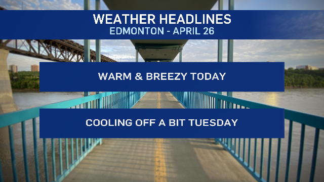
We'll get a warm mid-teens afternoon with morning sun giving way to a few clouds this afternoon.
Wind is expected to become a bit gusty midday and through the early afternoon hours... about 20 km/h gusting to 40 km/h.
Cooler air drops into the Edmonton region overnight and we'll get a high in the 5 to 10 degree range Tuesday afternoon.
More snow is possible in the Peace Country late Tuesday and there's a slight risk of seeing some of that push into the Edmonton area Tuesday night or early Wednesday morning.
However, we'll get to a high near 10 C Wednesday afternoon and in the mid-teens again Thursday.
Friday's shaping up to be the warmest day of the week with a high in the 18 to 23 degree range.
Here's the forecast for Edmonton:
Today - Sunny in the morning. Partly cloudy this afteroon.
Wind 20 gusting to 40 km/h midday and early this afternoon.
High: 14
Tonight - A few clouds. Wind easing early in the evening.
9pm: 7
Tuesday - Partly cloudy.
Morning Low: -3
Afternoon High: 8
Wednesday - Mostly cloudy. 30% chance of rain/snow mix or wet snow early in the morning.
Morning Low: -1
Afternoon High: 10
Thursday - Mix of sun & cloud.
Morning Low: 2
Afternoon High: 14
Friday - Mix of sun & cloud. Increasing cloud in the evening with a 40% chance of showers overnight.
Morning Low: 6
Afternoon High: 21
Saturday - 30% chance of showers early in the morning. Clearing in the afternoon.
Morning Low: 3
Afternoon High: 17
