A bit of fresh snow on the ground in and around the Edmonton area this morning.
Further south, we have freezing rain warnings in effect for areas from Rocky Mountain House/Red Deer east towards Coronation.
That freezing rain will stick around for a few hours and then flip to some snow later this morning.
The Edmonton region gets 3-6cm of snow by this afternoon and then the snow tapers off later today.
Parts of East-Central Alberta could get 5-10cm of snow today with the snow ending in that region tonight.
Another shot of snow tracks across Northern Alberta tonight and early Saturday.
The Peace Country gets a risk of freezing rain or snow late tonight.
Most (probably all) of the snow will be north of Edmonton Saturday morning. But, there's a slight risk of a few flurries early in the day.
NE Alberta gets some light snow Saturday morning.
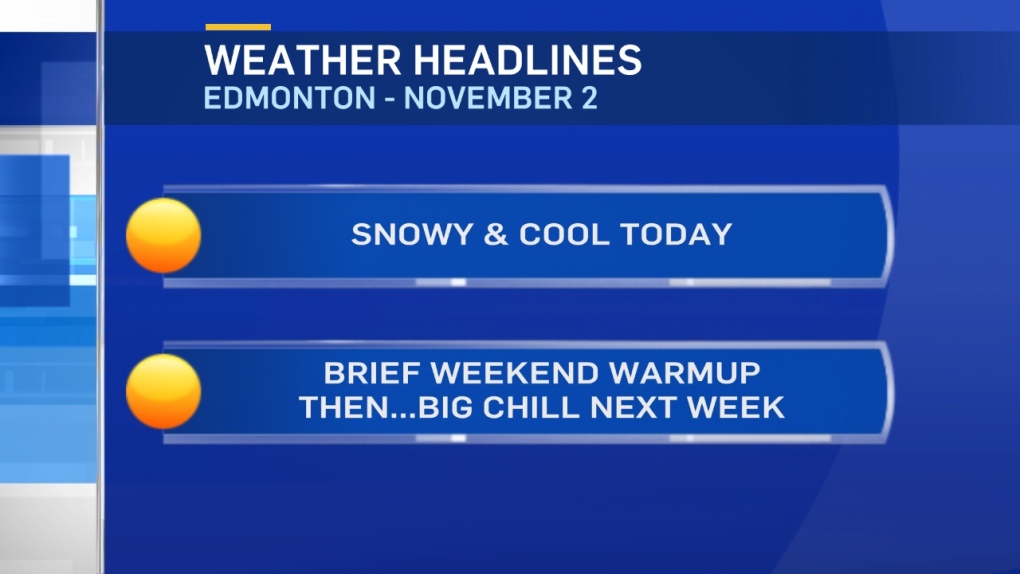
Brace for a big cooldown next week.
Daytime highs will drop into the -5 range by Tue/Wed in Edmonton.
AND...-5 to -10 range highs look likely for the end of next week.
Here's the Edmonton forecast:
Today - Cloudy with periods of snow. 3-6cm likely.
High: 1
Evening - Mostly cloudy.
9pm: -2
Saturday - Slight risk of flurries in the morning. Then...Cloudy with sunny breaks.
Morning Low: -6
Afternoon High: 4
Sunday - Mostly cloudy. 40% chance of rain/snow mix or freezing rain in the morning.
40% chance of snow late afternoon/evening.
Morning Low: 0
Afternoon High: 2
Monday - Mix of sun & cloud.
Morning Low: -6
Afternoon High: -3
Tuesday - Mostly cloudy. 40% chance of snow.
Morning Low: -7
Afternoon High: -4
Wednesday - Mix of sun & cloud.
Morning Low: -9
Afternoon High: -4
