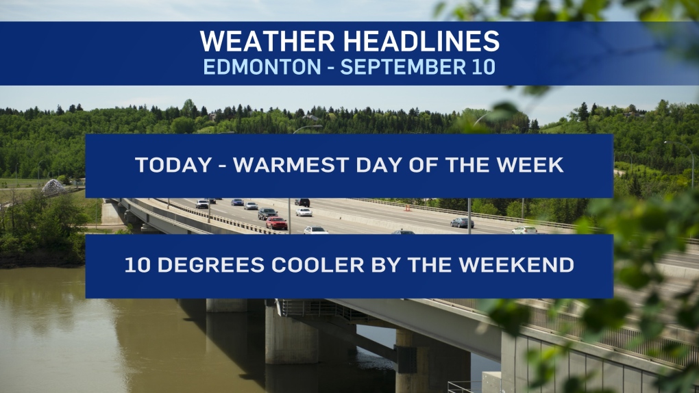
EDMONTON -- Temperatures will climb into the mid 20s again today in the Edmonton area.
We'll have a few clouds move through early this morning and then the afternoon should be dominated by sun.
Today will be the warmest day of the week and it'll be the last day above 25 degrees for a while.
A low pressure system will bring clouds and showers to northern Alberta today and a cold front behind that system will sweep across NW Alberta Friday.
That front should go through the Edmonton region Friday evening.
So we're still warm on Friday in Edmonton and areas to the south (high near 20 in Edmonton).
But we'll drop to highs in the low to mid teens for Sat/Sun with some clouds.
I think we'll get sunny breaks, but probably more cloud than sun this weekend.
AND...there's no really organized system to bring rain. But, there is at least a slight chance of some scattered showers in the area both days.
Temperatures now look like they'll rebound Monday and then take a tumble Tue/Wed of next week.
HERE'S THE FORECAST FOR EDMONTON:
- Today - Some clouds early this morning. Then, sunny.
- High: 26
- Tonight - Mainly clear overnight.
- 9pm: 16
- Friday - Sunny in the morning. Increasing afternoon cloud.
- Morning Low: 11
- Afternoon High: 21
- Saturday - Mix of sun & cloud. Slight risk of a shower.
- Morning Low: 8
- Afternoon High: 15
- Sunday - Mostly cloudy. Slight risk of a shower.
- Morning Low: 7
- Afternoon High: 15
- Monday - Mostly cloudy. 40% chance of late-day showers.
- Morning Low: 7
- Afternoon High: 18
- Tuesday - Mostly cloudy in the morning. Afternoon sunny breaks.
- Morning Low: 6
- Afternoon High: 13


