One step forward...another one back.
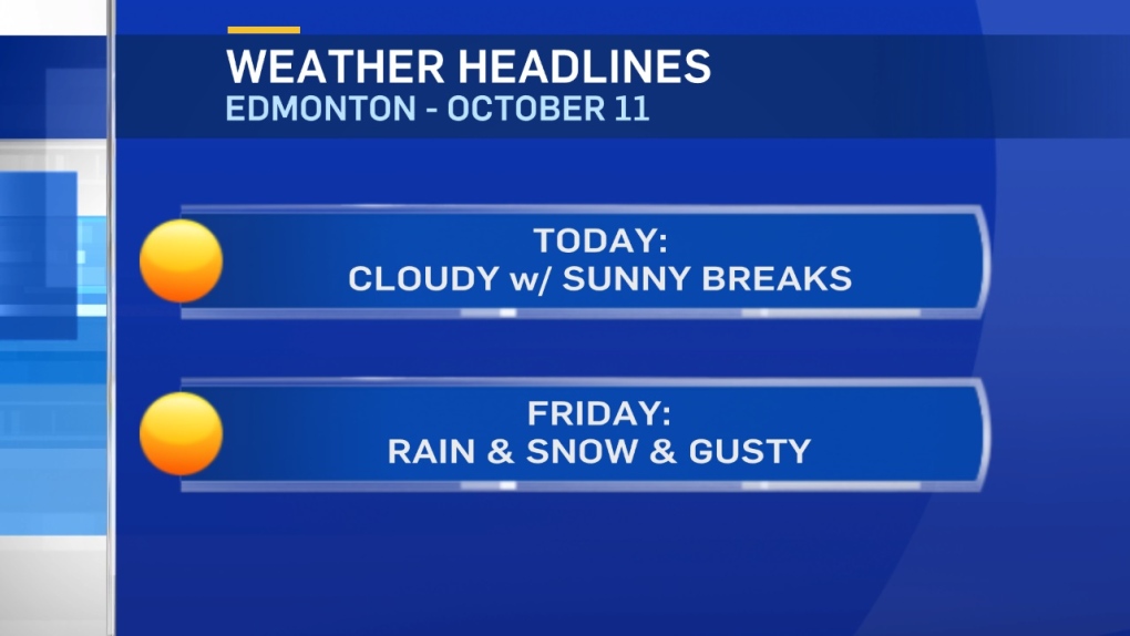
Just as some milder air is set to move in, we're eyeballing another shot of snow for North-Central and Northern Alberta Friday.
Rain will start tonight & flip to snow overnight or early Friday morning in areas north of Edmonton.
5-10cm is possible in a few regions.
In Edmonton and area, it'll start as showers tonight and early Friday. Then...it changes to snow by midday or early in the afternoon.
1-5cm accumulation is possible by Friday night.
Blowing snow could also be a significant problem in a few areas.
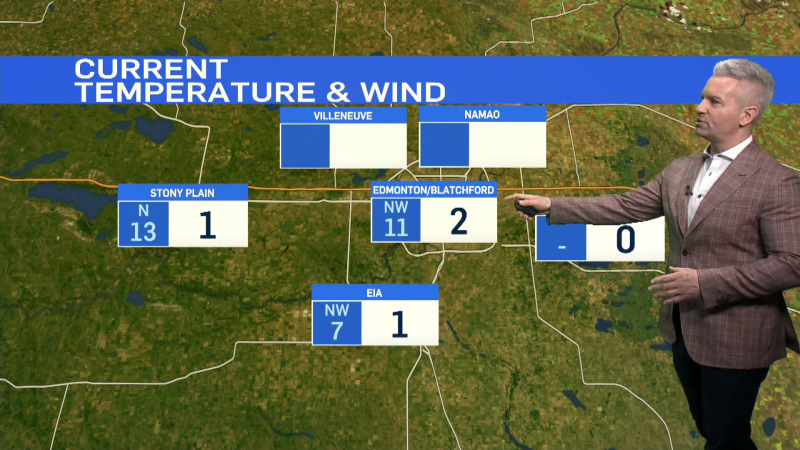
Wind will be a big factor with this system. Gusts in the 50-70km/h range are likely in the Edmonton region (possibly even stronger in some areas).
Further south, the Red Deer region could get 70 to 90km/h gusts.
Don't be too surprised if some weather warnings are issued by ECCC tomorrow.
LONG RANGE - Warmer air moves in for early next week as daytime highs get back to double digits.
Highs near 10 are expected in Edmonton by Mon/Tue with a shot at highs in the 10-15 degree range by mid to late next week.
We've seen that kind of warming trend in the long range consistently over the past few weeks.
AND...each time...it has disappeared as we got closer.
We'll have to wait & see whether or not THIS is the time the pattern FINALLY breaks.
Here's the Edmonton forecast:
Today - 30% chance of a few flurries in the area this morning. Cloudy with a few sunny breaks.
High: 4
Evening - Cloudy. 70% chance of showers in the evening and/or overnight.
9pm: 2
Friday - Cloudy. 80% chance of rain in the morning turning to snow in the afternoon.
Temperature falling in the afternoon.
9am: 4
Noon: 6
4pm: 2
Saturday - Partly cloudy.
Morning Low: -4
Afternoon High: 3
Sunday - Mix of sun & cloud.
Morning Low: -4
Afternoon High: 7
Monday - Mostly cloudy.
Morning Low: -1
Afternoon High: 9
Tuesday - Clearing.
Morning Low: 1
Afternoon High: 11
