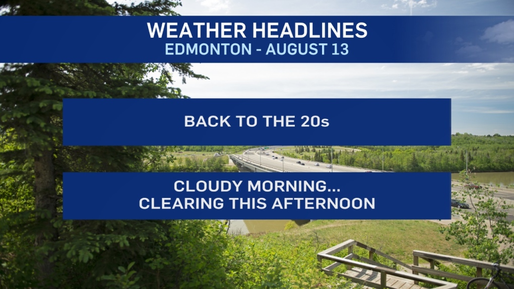
After 4 straight days with daytime highs BELOW 20, we're warming up again.
Rain moved through the Edmonton Metro Region overnight. Our network of weather stations scattered around the city reported 2-6mm with higher the higher totals in the north end of the region. That precipitation will move through eastern AB this morning and early this afternoon.
Edmonton and areas to the north and west get some clearing later today. So, back to the 20s AND some sun late this afternoon and early this evening.
Wednesday will be the warmest day of the week. Temperatures will get to the 24/25 range AND some sun.
Clouds return Thursday with a decent chance of showers late Thursday.
Scattered showers, cloudy and back below 20 Friday.
The weekend is shaping up nicely at this point. Partly cloudy skies and afternoon highs in the low 20s in Edmonton.
Here's the forecast for Edmonton:
- Today - Cloudy this morning. Sunny breaks this afternoon.
- High: 21
- Evening - Clearing early. Mostly clear overnight.
- 9pm: 16
- Wednesday - Sunny with a few clouds.
- Morning Low: 10
- Afternoon High: 24
- Thursday - Increasing cloud. 40% chance of a late-day shower or thunderstorm.
- Morning Low: 11
- Afternoon High: 22
- Friday - Cloudy with sunny breaks. 40% chance of showers.
- Morning Low: 11
- Afternoon High: 18
- Saturday - Partly cloudy.
- Morning Low: 9
- Afternoon High: 21
- Sunday - Partly cloudy.
- Morning Low: 12
- Afternoon High: 21
