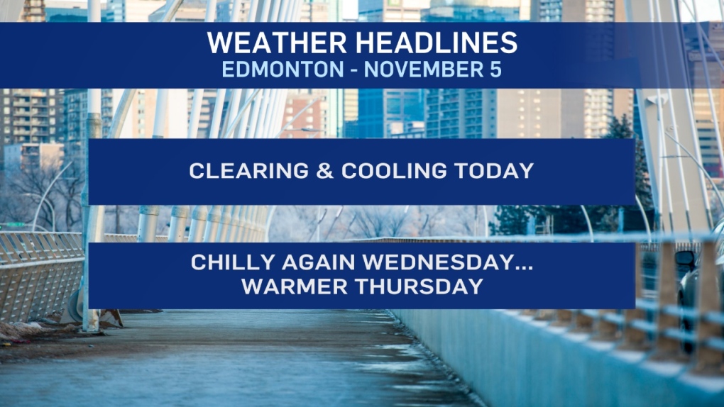
It LOOKS wintry out there this morning and it'll be FEELING wintry too.
A couple centimetres of snow fell on the Edmonton region overnight.
That snow will taper off this morning and we'll get some clearing this afternoon.
However, there's some colder air set to drop in from the north.
Wind chill will be a factor today, too.
20-30 km/h wind and temperatures near -5 this morning will FEEL more like -12.
Wind eases a bit this afternoon. BUT, temperatures fall to the -10 range.
So, wind chill will be in the -15 range.
Cold again Wednesday. BUT, sunny and less wind. So...it may not seem as cold.
Warmer air returns briefly for Thursday before another blast of cold air moves in for Fri/Sat/Sun.
Further west: 10-15 cm of snow has fallen in the Nordegg/Rocky Mountain House region.
24cm has been reported just SE of Grande Cache.
Snow continues in the foothills today with the heaviest snow slumping south.
Kananaskis could be in for 20-30 cm by Wednesday.
Here's the forecast for Edmonton:
- Today – Snow ending this morning. Cloudy with wind N 20-30 km/h.
- Clearing this afternoon. Wind easing to N 10-15 km/h.
- Temperature falling through the day.
- Wind chill in the -10 to -15 range much of the day.
- Noon: -6
- 6pm: -9
- Tonight - Mostly clear overnight.
- 9pm: -11
- Wednesday - Mainly sunny. Light wind.
- Morning Low: -16
- Afternoon High: -7
- Thursday - Mix of sun & cloud. 30% chance of rain/snow mix in the evening.
- Morning Low: -11
- Afternoon High: 1
- Friday - Mostly cloudy. 70% chance of flurries or periods of snow.
- Temperatures falling through the day. Windy.
- Afternoon: -6
- Saturday - Cloudy. 30% chance of flurries.
- Morning Low: -12
- Afternoon High: -9
- Sunday - Partly cloudy.
- Morning Low: -17
- Afternoon High: -11
