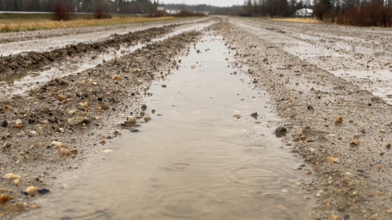
It's been almost 3 weeks since Edmonton was above zero.
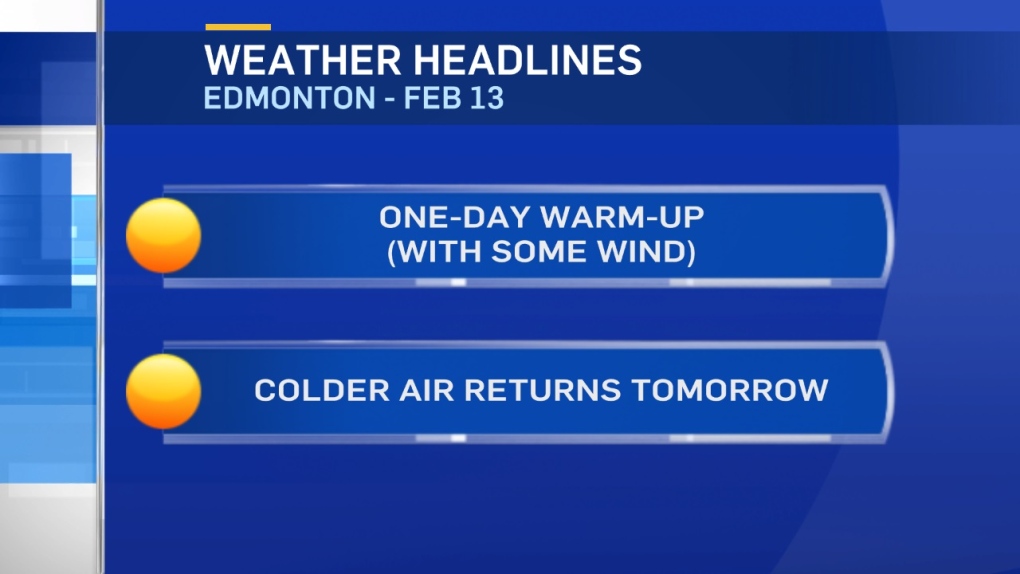
The city hit +3 back on January 23 and should get 3 or 4 degrees above zero again this afternoon.
But, after today...colder air returns.
Temperatures will falling through the day Wednesday (-5 range in the morning and in the -10 to -15 range in the afternoon)
Thursday will have a high around -10. We climb back to the 0 to -5 range Friday before cooling off again this weekend.
It'll be warm today. BUT...windy too.
Gusts in most of Central and Northern Alberta will be in the 40 to 60km/h range.
We also have some precipitation in the north. Watch for a rain/snow mix in the Peace Country early today and then a couple cm of snow tonight.
In the NE - wet flurries and periods of light snow today/tonight.
Edmonton and area gets a slight risk of some rain/snow mix this afternoon.
The best chance for precipitation is a risk of flurries late tonight as the cold front drops through.
No significant accumulation is expected. Although, some spots could get a dusting to 2cm.
Further west, several cm of snow is possible over the next few days in the mountain parks and foothills.
Here's the Edmonton forecast:
Today - Mostly cloudy. 30% chance of rain/snow mix this afternoon.
Wind: WNW 20 gusting to 40
High: 3
Evening - Cloudy with a 60% chance of flurries. Wind gusts to 40km/h
9pm: -1
Wednesday - Cloudy and windy with a 40% chance of flurries in the morning.
Clearing and wind easing in the afternoon.
Temperature falling.
Morning: -6
Afternoon: -12
Thursday - Partly cloudy.
Morning Low: -20
Afternoon High: -10
Friday - Mostly cloudy. 40% chance of flurries or light snow.
Morning Low: -13
Afternoon High: -2
Saturday - Mix of sun & cloud.
Morning Low: -14
Afternoon High: -10
