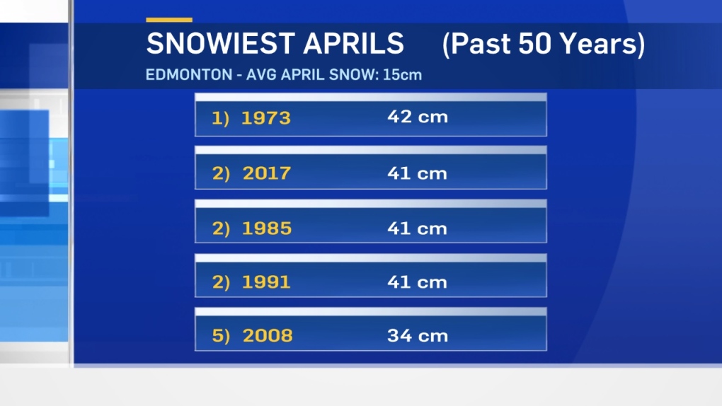
The weekend snow has pushed April 2017 into a tie for 2nd on the list of snowiest Aprils.
In the past 50 years, only 1973 has had more snow.
And...with a bit of snow in the Edmonton area today, we may end up in a tie for top spot on the list.
In fact, it's not just one of the snowiest Aprils on record for Edmonton.
This is the snowiest month PERIOD in several years.
The last time we had more snow in 1 month was November 2013. Edmonton had 45cm of snow that month.
So...when will it end & when will it warm up again?
The short answer is: later this week.
We have some more light snow that will turn to a rain/snow mix in the area today & this evening.
There's a risk of a few more pockets of wet flurries or rain/snow mix on Tuesday.
After that...we should be done with snow for a while.
Temperatures will be in the 3 to 7 degree range for daytime highs for the next few days.
By Friday, we're back close to 10.
By the weekend, we're into the 10-15 degree range...which puts us closer to average.
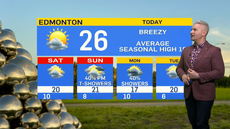
Here's the Edmonton forecast:
Today - Cloudy with pockets of flurries & rain/snow mix.
High: 3
Tonight - Cloudy with a 40% chance of flurries.
Evening: 1
Tuesday - Cloudy with a few sunny breaks. 30% chance of a shower or rain/snow mix.
Morning Low: -1
Afternoon High: 4
Wednesday - Cloudy.
Morning Low: -1
Afternoon High: 6
Thursday - Mostly cloudy.
Morning Low: -2
Afternoon High: 7
Friday - Mix of sun & cloud.
Morning Low: 0
Afternoon High: 9
Saturday - Partly cloudy.
Morning Low: 2
Afternoon High: 13
Advertisement
SNOWIEST APRIL IN DECADES - April 24
CTV Edmonton
Published Monday, April 24, 2017 7:43AM MDT
Published Monday, April 24, 2017 7:43AM MDT
