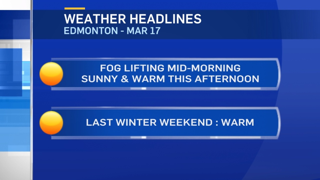
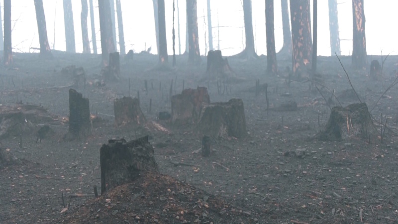
Temperatures dropped and with all that moisture trapped at the surface, some dense fog developed last night & this morning.
That'll stick around until temperatures start to warm up.
Sunrise is at 7:43. So, the fog probably won't start lifting and dissipating until after 8am.
Once it burns off...we'll get a warm & sunny St Patrick's Day across most of Central and North-Central Alberta.
Heading into the last weekend of winter -
Snow is expected to roll through northern Alberta on Saturday with the possibility for heavy snow in the High Level region.
Parts of NE Alberta may also see several cm of snow.
Areas like Grande Prairie, Slave Lake and Bonnyville should get SOME precip. But, it doesn't look like it'll be a heavy snow event for those areas.
Edmonton & area gets a chance of some showers ( possibly mixed with snow ) late Saturday.
Spring starts early Monday morning.
Daytime highs in the Capital Region are forecast to be in the 2-7 degree range all week.
Here's the Edmonton forecast:
Today - Fog dissipating mid-to-late morning. Sunny with a few clouds this afternoon.
High: 5
Tonight - Increasing cloud this evening & overnight.
Evening: 2
Saturday - Cloudy with sunny breaks. 60% chance of showers or a rain/snow mix in the evening.
Morning Low: -2
Afternoon High: 7
Sunday - Mix of sun & cloud. 30% chance of flurries in the late afternoon.
Morning Low: -3
Afternoon High: 4
Monday - Mainly sunny.
Morning Low: -8
Afternoon High: 3
Tuesday - Mainly sunny.
Morning Low: -9
Afternoon High: 5
Wednesday - Partly cloudy.
Morning Low: -3
Afternoon High: 6
Advertisement
Sun Returns This Afternoon - March 17
CTV Edmonton
Published Friday, March 17, 2017 7:55AM MDT
Published Friday, March 17, 2017 7:55AM MDT
